👉Click here to read the article in German
In this post:
- Trip report: Hiking the Cordillera Huayhuash in 6 days
- Route and stages of the Huayhuash Trek
- Getting to the Cordillera Huayhuash
- Tips for staying in Huaraz
- How difficult is the Huayhuash Circuit
- Gear list for the Huayhuash Trek
- Cost breakdown and entrance fees
- Huayhuash Trek with or without a guide?
- Is the Huayhuash Circuit safe?
- Climate and best time to hike
- My verdict on the Huayhuash Circuit
The first glimpse of the Cordillera Huayhuash as you approach the mountain range on the dirtroad from the north stays in your mind forever: Ice-clad peaks that resemble giant shark teeth as they rise sharply from the puna, the desolate, treeless steppe of the Andes. Incredibly steep rock walls, summits looming up impossibly high. The dimensions are staggering, the sheer scale takes your breath away.
It’s those spectacular high Andean landscapes that have earned the Huayhuash Circuit its reputation. “The best trek in the world,” “The only tour you need to do in Peru”, “This trek will change your life!” Yes… there’s certainly no shortage of superlatives when it comes to the Huayhuash Circuit.
Naturally, as a trekker this left a strong impression on me. I’d long been intrigued by the Huayhuash Trek. In fact, this hike was one of the reasons I first considered Peru as a travel destination years ago. For a long time, however, I didn’t feel experienced enough to tackle it on my own. But eventually the time came. I went to Peru for a whole summer and this trek was going to be the highlight: a solo journey through the Andes’ most spectacular range, only me, my tent and my trusty backpack on one of the world’s most beautiful hiking routes.
Was it worth it? You’ll find that out and much more in the following lines!
At a Glance:
- Circular hike around the Cordillera Huayhuash, one of the most famous trekking routes in Peru
- Distance: about 110 km
- Elevation: +6,000, – 6,000 meters of elevation gain
- Duration: around 8-10 days
- Difficulty: moderate, more challenging options available
- Adventure rating: high
- Overnighting exclusively in tents at simple campsites, solo trekkers need camping gear and supplies, optional support with pack animals (donkeys) available
- Trekking mostly above 4,000 meters, prior acclimatization and high-altitude trekking experience recommended
What to Expect on the Huayhuash Trek
Let’s begin with the essential facts: The Huayhuash Circuit, or Huayhuash Trek, is an approximately 8-10 day trek spanning around 110 kilometers, circling the entire Huayhuash mountain range. This range, part of the Peruvian Andes, is located about 100 kilometers south of the well-known climbing town of Huaraz. The area is remote and still pretty difficult to access.
The Cordillera Huayhuash gained fame in the 1980s thanks to extreme climbers like British mountaineer Joe Simpson, who narrowly escaped death while climbing Siula Grande (6,344 m) in a dramatic self-rescue, detailed in his riveting book Touching the Void, which was also made into a film. Nowadays the region has become popular among international backpackers and trekking enthusiasts.
About the landscape of the Cordillera Huayhuash
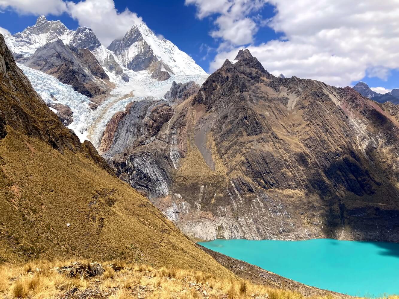
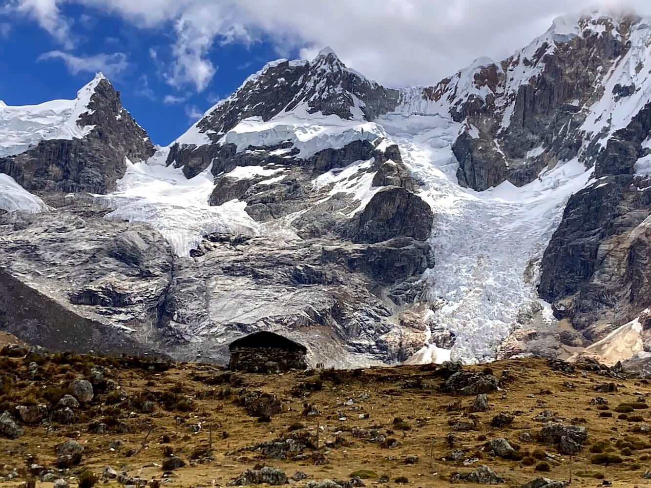
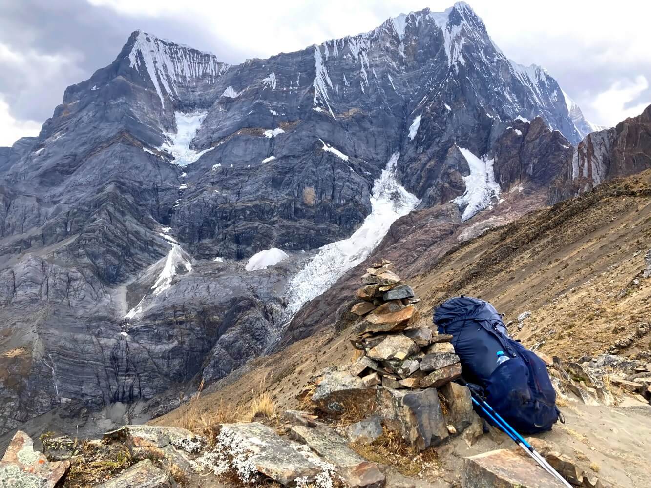
The Cordillera Huayhuash is actually quite compact—just 30 kilometers from north to south as the crow flies. But within this narrow space six towering peaks soar over 6,000 meters alongside 15 other giants exceeding 5,000 meters. The highest peak is Yerupaja Grande (6,635 m), Peru’s second-highest mountain. One remarkable feature of this range are the hanging glaciers which cling almost vertically to the mountainsides.
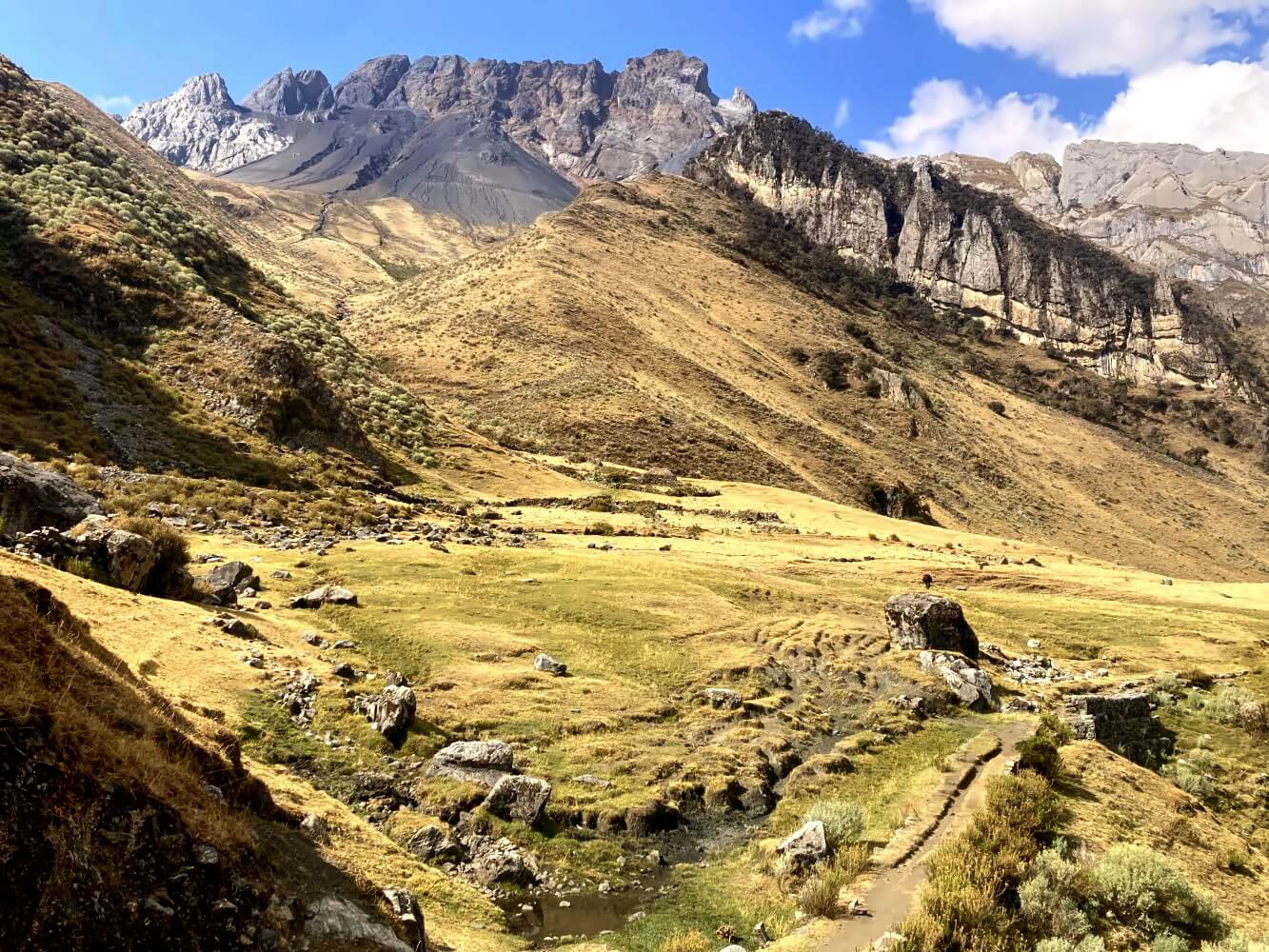
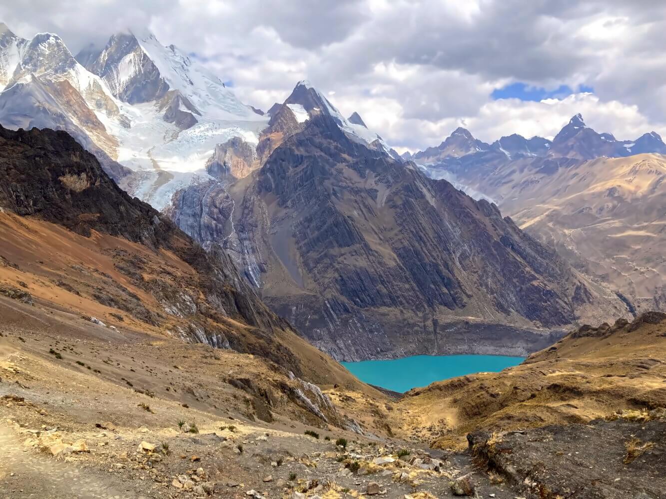
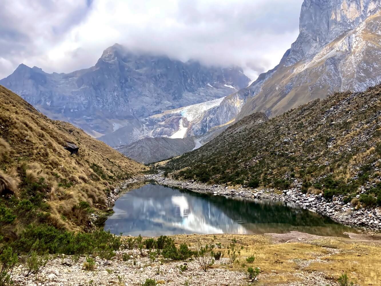
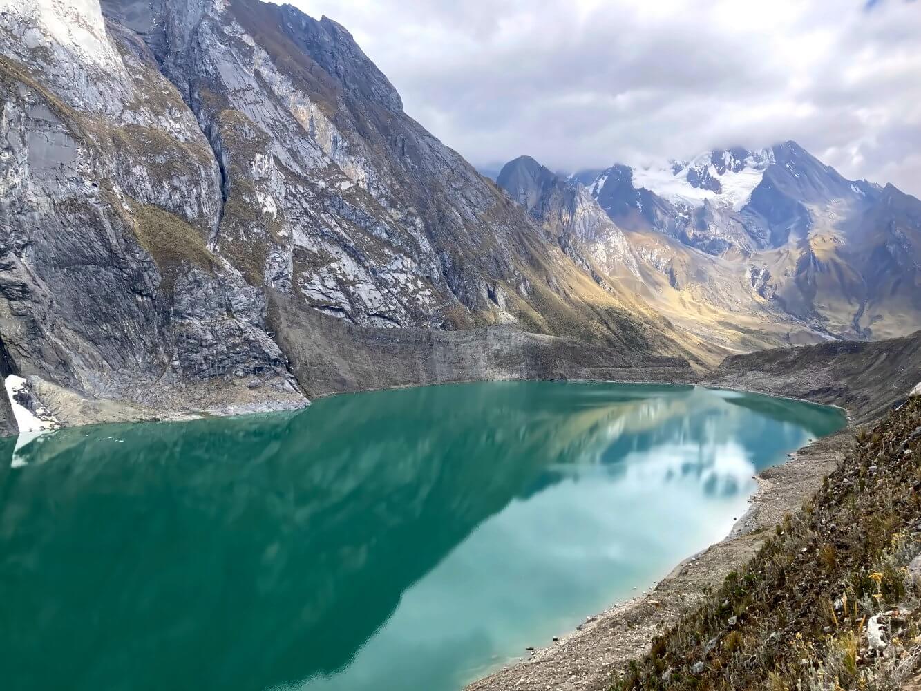
The landscape is extremely barren—much more so than the nearby Cordillera Blanca. It’s a world of endless brown hills suddenly giving way to jagged, glacier-topped peaks, sharp rock spires, and towering ice walls. Numerous turquoise-blue glacier lakes provide a striking contrast to this stark terrain.
Trekking in the Cordillera Huayhuash
The Huayhuash Circuit follows a natural loop around the mountain range, in some places getting pretty close to the mountains and glaciers. Depending on your schedule there are several routes, with treks ranging from 6 to 12 days. Most people opt for a guided tour which usually lasts about 8 days.
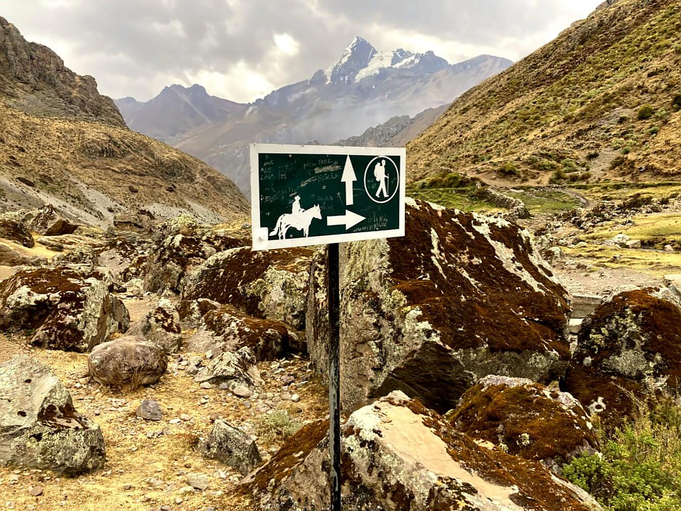
In addition to the main Valley Circuit route there’s also the Alpine Circuit, this option brings you even closer to the mountains. I hiked parts of this variant – more on that below. Both routes climb passes at around 5,000 meters. The trail is largely unmarked with only occasional old signs and “hitos” (spanish for stone cairns).
The Huayhuash Circuit is an all-camping trek with tents set up at designated campsites. If you go independently you can hire a muleteer (arriero) for certain stages to carry your pack. Supplies are scarce along the route though beer and drinks are usually available. Since most of the trek is above 4,000 meters prior acclimatization is advisable. Many hikers first tackle the Santa Cruz Trek which I also did.
Is this Peru’s most famous trek?
One note on the Huayhuash Circuit’s popularity: This is a thing that actually surprised me. Remote does not mean solitary at all in the Cordillera Huayhuash. It was one of the busier treks I’ve encountered in Peru. The guidebooks and blogs singing its praises have clearly left their mark.
Of course, it’s still nowhere near as crowded as the popular routes in southern Peru, like the Salkantay Trek or the fully commercialized Inca Trail. But it’s no longer a hidden gem either, that might have been the case 20 years ago. My impression was: everyone serious about hiking in Peru includes this trek on their itinerary. By the way, the Huayhuash Circuit also was the only place in Peru where I encountered other Germans, just as a side note…
Hiking guides and maps for the Huayhuash Circuit
My recommendation: Rother Hiking Guide Peru
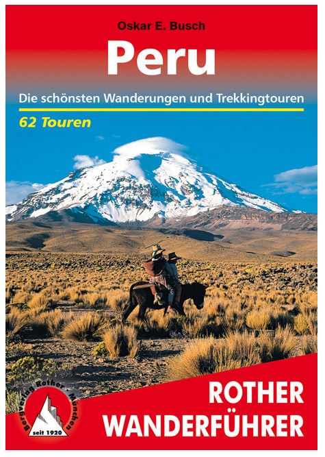
The hiking guide Peru from Rother Publishing includes the Huayhuash Circuit in the valley variant over 10 days. As always with Rother, the stages are well described including elevation profiles and maps .
In addition, the book presents 61 other hikes, mainly multi-day tours. Among them are many lesser-known hidden gems, such as in the neighboring Cordillera Raura.
In my opinion, it currently ranks among the best hiking guides to help you prepare a trekking journey in Peru.”
Hiking Guides and Maps for the Huayhuash Trek
For a map, I recommend the Alpenvereinskarte 0/3c Cordillera Huayhuash, scaled at 1:50,000, covering the main valley routes. You can find it in Huaraz, but it’s pricey, so better to order in advance. Alternative routes and the Huayhuash Alpine Circuit can also be found on apps like Alltrails which are based on OSM data.
Travel Report: Six Days in the Cordillera Huayhuash
To give you a better impression, here’s a day-by-day account of my hike on the Huayhuash Trek, based on the diary entries and pictures I took along the way. I started in Llamac, combining some stages and completing the trek in six days, covering almost the same route as most guided tours.
Below the travel report, you’ll find all the information you need about the route, travel options, costs, gear list, and other essential details.
Day 1: Llamac – Laguna Jahuacocha 14.5 km, +875, -60 m ascent/descent
I thought Chiquian is the end of the world… but Llamac proves me wrong. The tiny village sits in the middle of nowhere at the end of a bumpy dirtroad that would be considered a hiking trail back home in Europe. There’s nobody in sight on the streets. It’s 10:00 a.m. when I say goodbye to my taxi driver, Felipe, and set off.

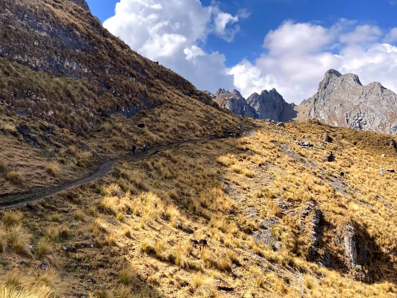
The trek starts with a steep ascent to 4,000 meters—a nice morning workout admittedly, but one that I could do without. Later, I follow a narrow path high above the Rio Achin valley. The landscape is arid, the sun blazes in the cloudless sky. Parts of the trail are damaged by heavy landslides, which makes scrambling with my heavy backpack a bit tricky.
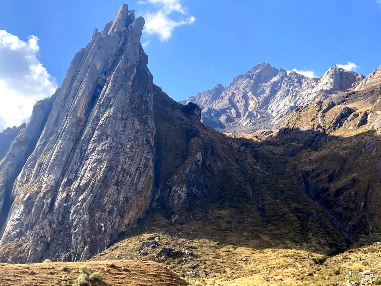
About two hours before reaching Laguna Jahuacocha, the landscape transforms. The mountains of the Huayhuash range, long hidden from view, suddenly loom nearby. The sight of Yerupaja Grande and Jirishanca is breathtaking, even with their peaks now covered in clouds. The craggy cliffs towering above on either side of the valley are just as captivating, though. I feel tiny, like an ant crawling at the bottom of an arena built for giants.
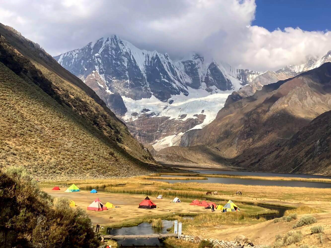
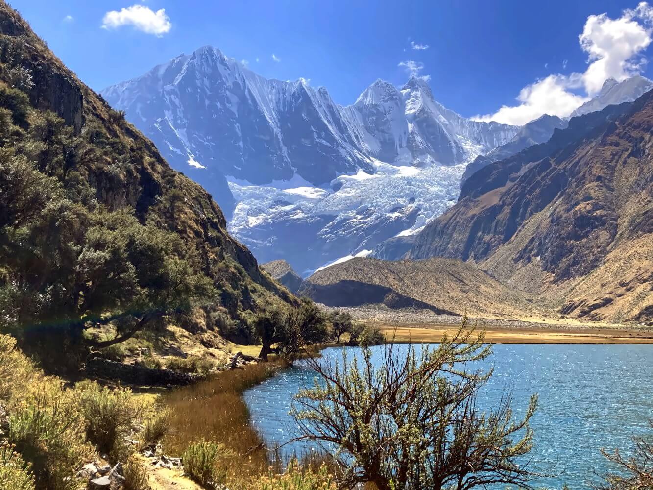
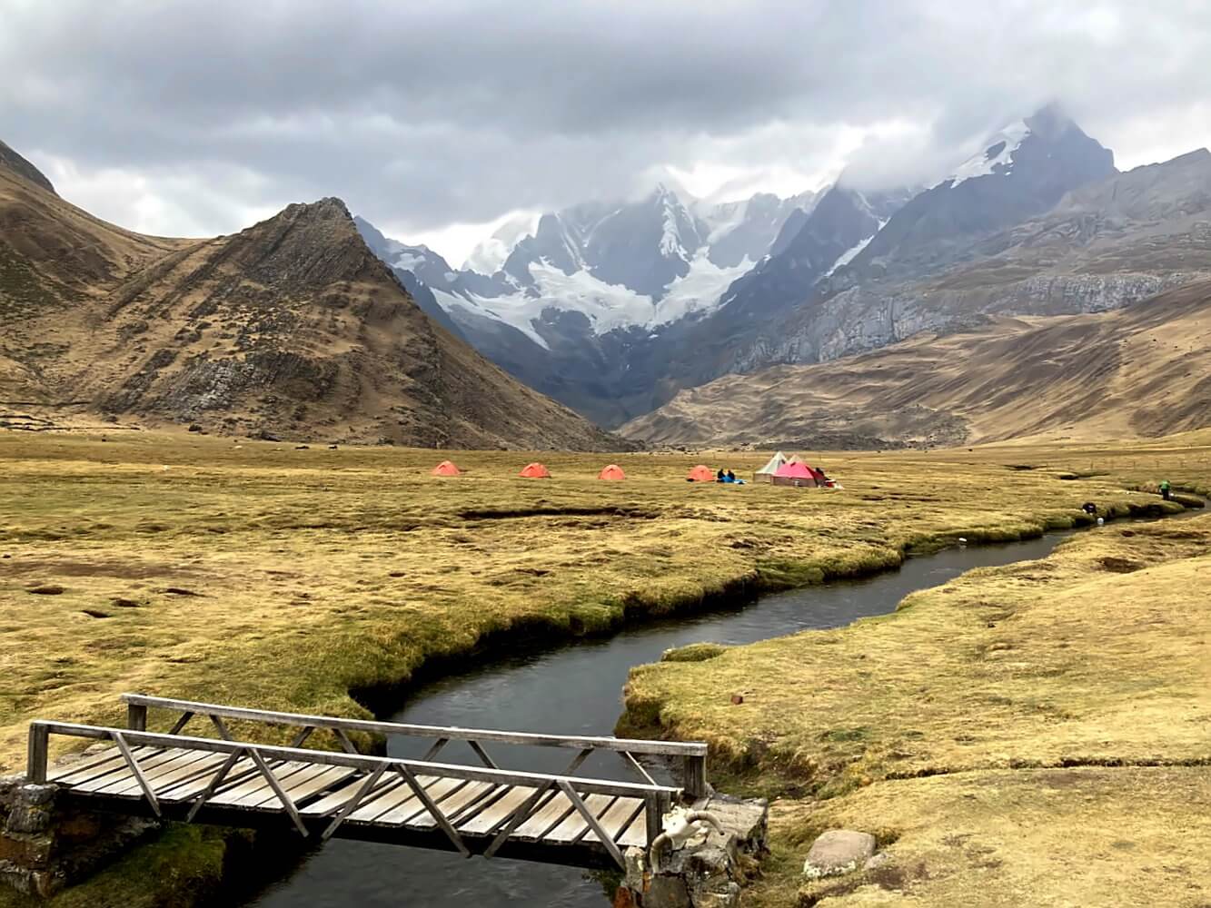
It’s early afternoon when I reach the camp by Laguna Jahuacocha. The picturesque lake is surrounded by a vast grassy plain and rimmed by reeds. Ducks paddle peacefully in the water. The guided groups have already set up their colorful tents. Behind them, the peaks of the Huayhuash rise majestically into the sky. An Andean fantasy straight out of the picturebook. Later, even the sun briefly shows its face. After sunset temperatures plummet quickly to zero, though and I hide in my tent. A great first day!
Day 2: Laguna Jahuacocha – Quartelhuain 13 km, +870, -765 m ascent/descent
The first part of todays hike exceeds my expectations. I walk on a beautifully overgrown trail that borders the north side of Lake Jahuacocha, passing small Quenua trees while enjoying the sunlight on a clear, cloudless sky. The views of the rugged glacial slopes… simply unbelievable. How does the ice even manage to cling on to those steep walls? As I climb toward the first pass, Punta Rondoy, the views get even better: I take a sneaky peak right into the sparkling white glacier-ice décolletage of the Grande Dame Yerupaja. These are views you truly don’t get to see every day…
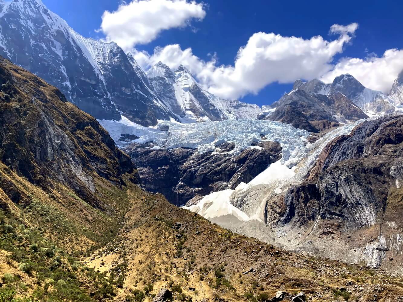
The climb to the pass is quite challenging. If I didn’t know it before: Yes… carrying 20 kilograms in your backpack makes a difference. My legs feel like lead as I trudge upward. The pass actually consists of two ridges separated by a large barren plateau. Unfortunately the weather turns worse. Still, the view to the rocky peaks on the western edge of the Cordillera is spectacular. While descending I lose the trail occasionally and have to hike cross-country until I reach the road leading to Quartelhuain.
The last few kilometers along the dusty mining road drag on. I hear the engines of a truck, thundering by in the distance. Like much of Peru’s mountains, the Cordillera Huayhuash is also used for mining precious minerals. Along the way, a few locals on horseback pass me, nodding assuringly: “Sí, media hora”. Just half an hour” to reach the camp. Sure guys… if you own a horse! Of course, none of the locals walk if it can’t be helped. That’s strictly for tourists. In the end, I need well over an hour.
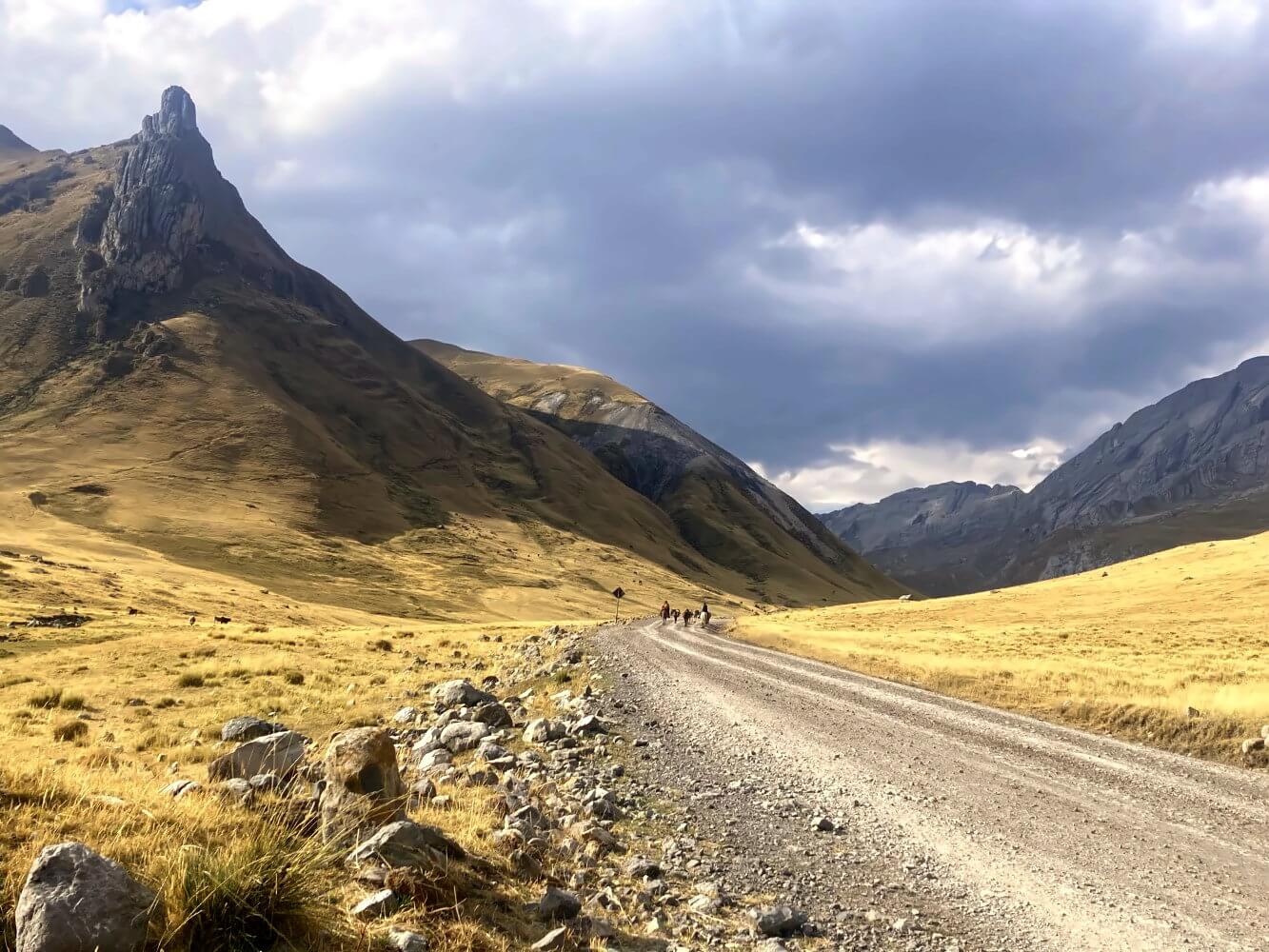
The camp in Quartelhuain turns out to be extremely windy. While setting up my trusty Hubba Hubba, the wind catches the outer fly and blows the tent away until it finally ends up un the midst of a rushing mountain stream a couple of hundred meters away. Luckily I manage to catch it and in the strong wind it dries quickly. In the end a few of the arrieros help me to secure it safely in the ground. This night gets to be even colder than the last.
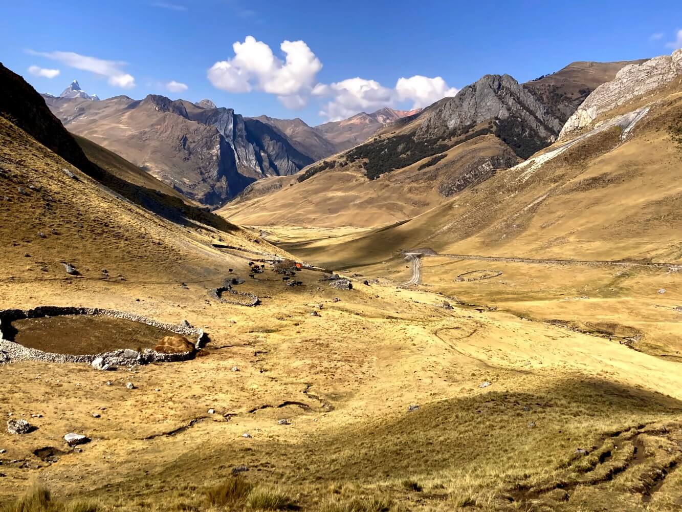
Day 3: Quartelhuain – Laguna Mitococha: 8 km, +600, -525 m ascent/descent
The ascent to the next pass Cacanapunta starts right behind the camp, and while it’s not the most scenic, it’s at least thankfully short and sweet. I start late, around 9:00 a.m. making me one of the last ones. Most guided groups already start at 7:00 a.m. Even so, I pass many of the other trekkers, quite a few of whom seem badly acclimatized or not acclimatized at all.
At the top of the pass, I meet a group of pretty fit Spaniards from Madrid. One of them, Juan, even speaks German, having lived in Paderborn for a while. He’s quite happy to use his German again and even offers me a pear. I find that really considerate. My own food consists mainly of freeze-dried noodles, of course. Everything is fully optimized for weight. Luxuries like fresh fruit… well, every hiker needs something to dream about.
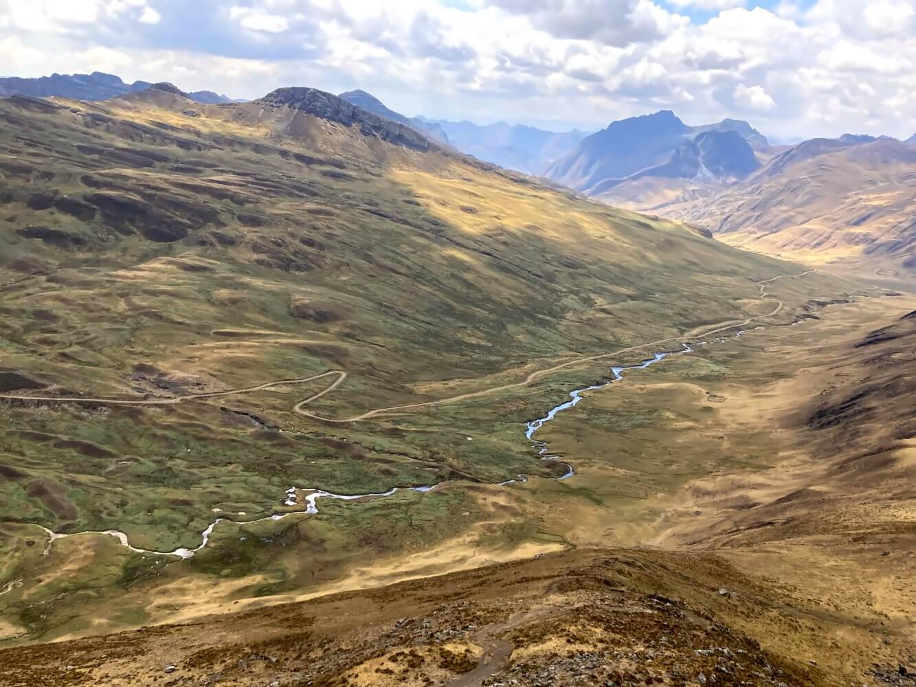
After the pass I traverse through an expansive valley with a meandering stream below. I notice that the valleys here are much broader than those in the Cordillera Blanca. The next campsite near Janca happens to be along a stream flowing from Laguna Mitococha. It’s still early, so I decide to continue and camp directly at this lake. Following the stream, I clamber over some low moraines and push further up into the side valley.
The valley is very boggy in many places, unfortunately, with no proper trails, not even faint tracks. I step onto what looks like completely solid ground when suddenly my foot sinks knee-deep into the thick mud. After some minutes stuck like this, I almost start to worry about what will happen if I won’t get out. In the end I mangage, but it`s not easy. I take nearly half an hour to literally dig myself out with my trekking pole. Luckily, only one leg was stuck.
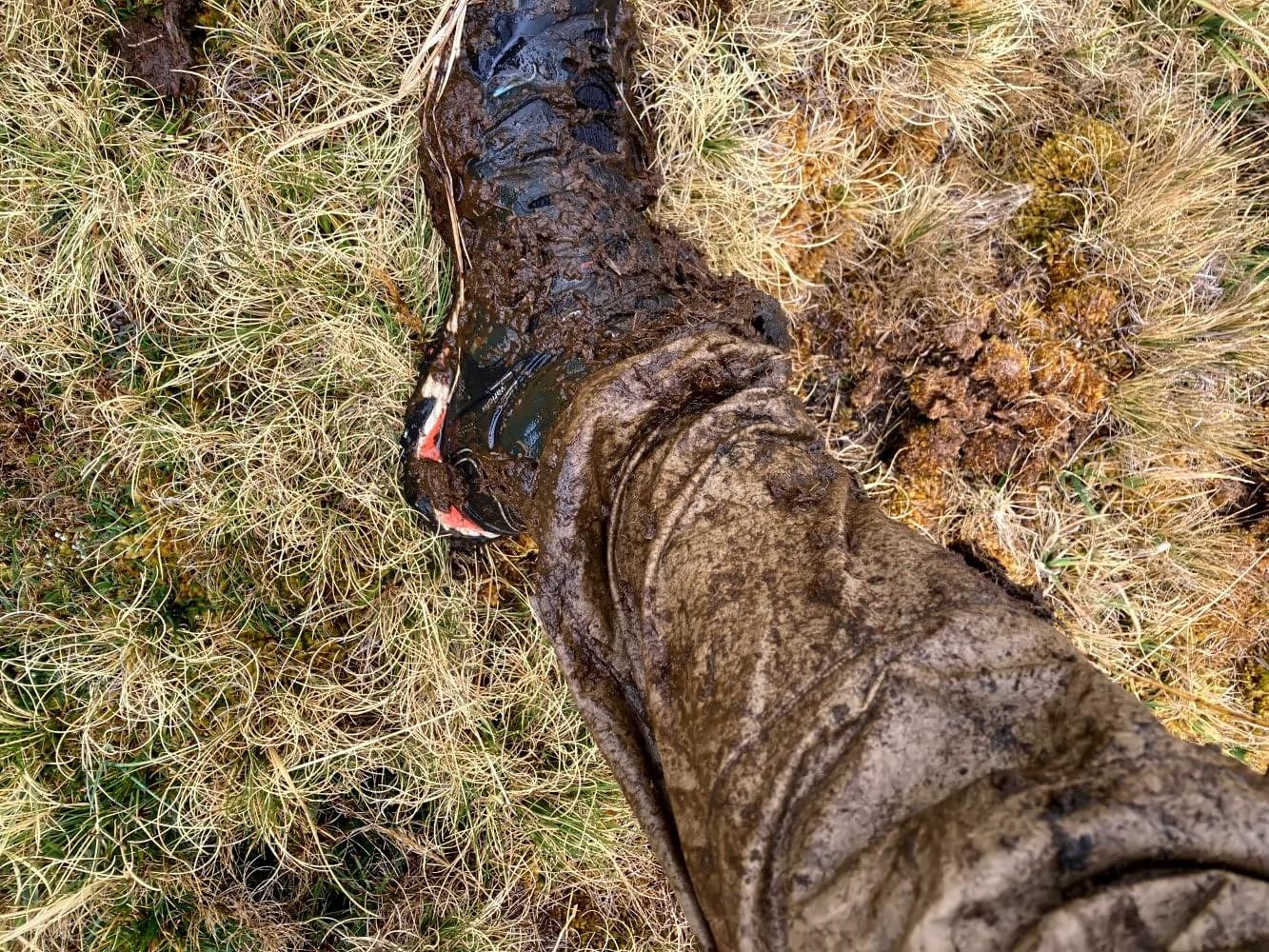
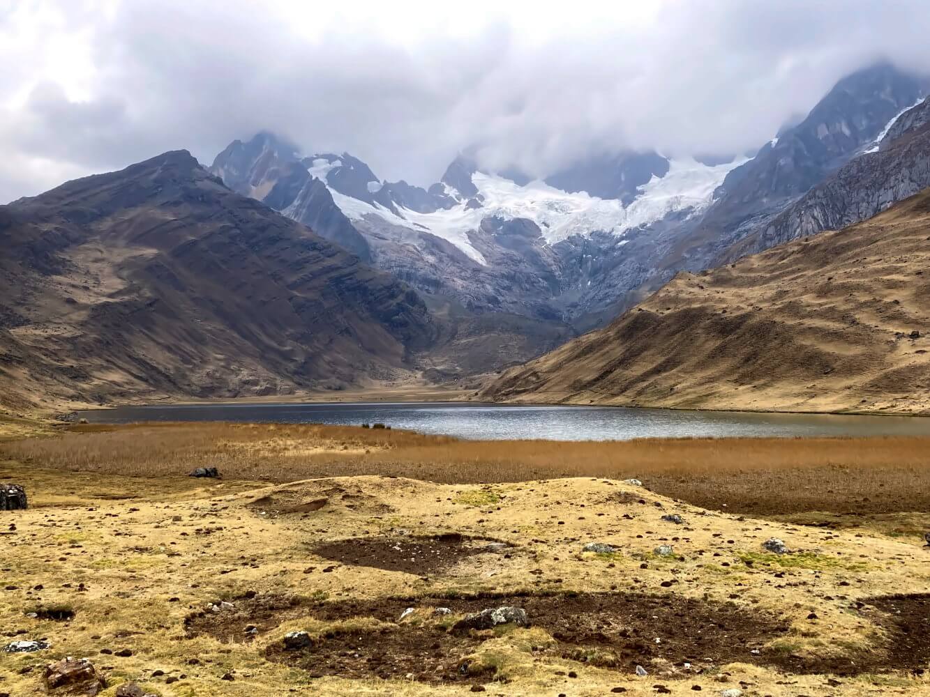
Finally I arrive at the lake, but now the weather starts to get really bad. Icy winds whip around me, dense clouds cover the sky overhead. In the gloomy atmosphere the lake turns to the color of a leaden gray, faint wind gusts ripple over the surface. Still, a few coots swim calmly in the lake like it’s the most natural thing in the world. Cattle graze peacefully nearby. What strikes me most are the peculiar calls of the birds — a kind of soft, drawn-out cooing followed by a high-pitched chuckling, almost like laughter. Are they maybe laughing at me for setting up camp here?
For a few moments the sun comes out and I enjoy stunning views of Nevado Rondoy’s glacier-clad eastern face. But a moment later it’s overcast again and now the cattle finally flee the valley in a hurry as hail starts to fall. That’s the thing about these altitudes: At over 4,000 meters above sea level the weather can change in the flick of an eye. Outside it’s hailing like crazy while my mud-covered pants fill the tent with the smell of swamp. I do my best to dry my things. Hopefully I can try the alpine route tomorrow.
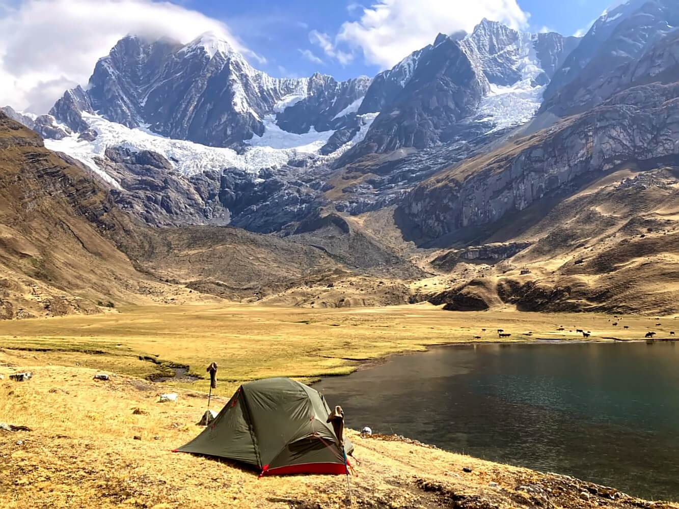
Day 4: Laguna Mitococha – Laguna Carhuacocha: 10 km, +410, -500 m ascent/descent
In the morning it’s raining again, so I have to wait for a dry spell to pack my things up. To attempt the alpine route, I’d first need to climb the steep grass-slopes east of the lake and then later hunt for the pass opening up at some point around 4,800 meters – everything without a proper trail, of course. Normally that should be quite fun. With the weather already turning for the worse again I’m not so sure.
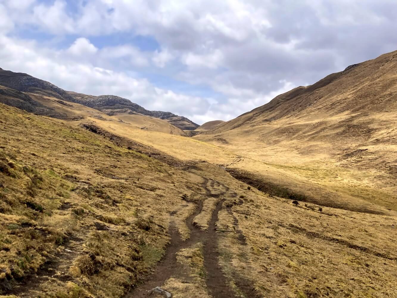
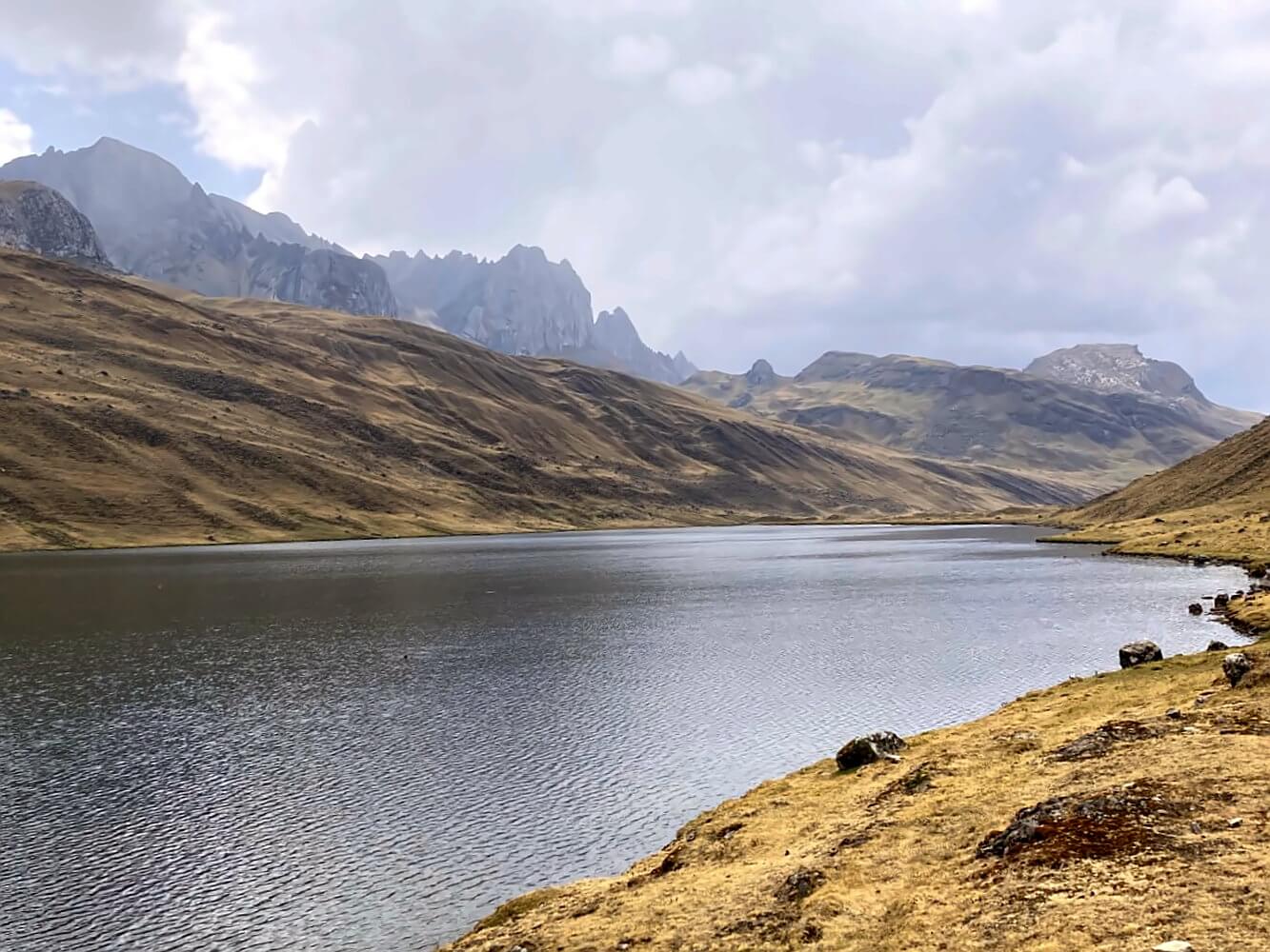
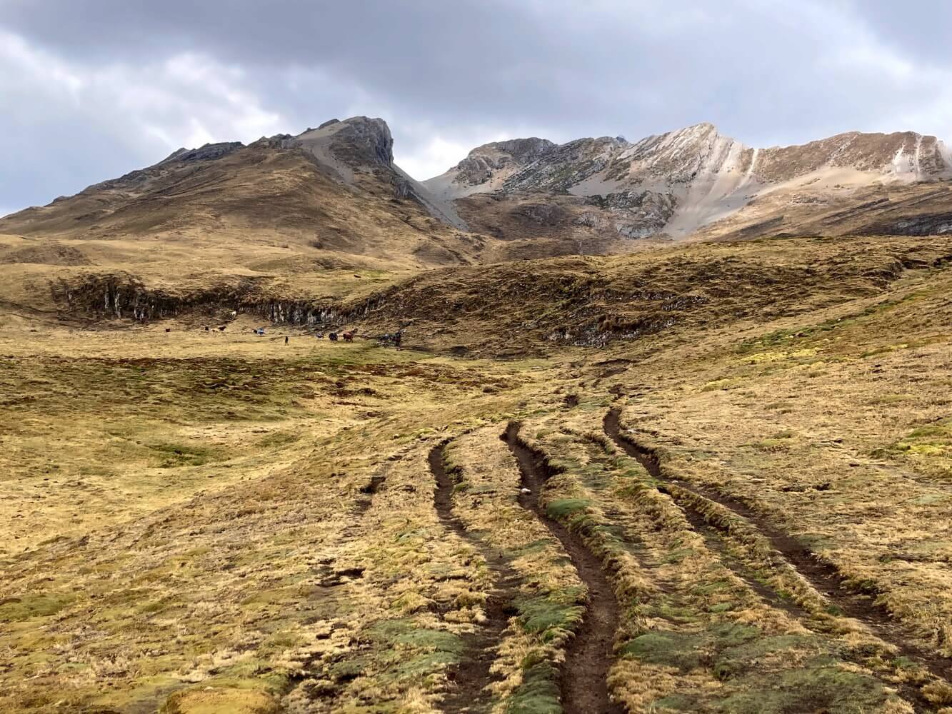
In the end I head back through the boggy valley and decide to do the normal route over Paso Yanapunta. The more sensible choice, probably, even if it results in a pretty dull day. I follow endless cow patties along the yellowish-brown puna landscape, the clouds obscure the mountain views. The occasional raindrop makes it hard to tell if the weather will hold. The pass itself is insignificant, just a small notch in the hills, really.
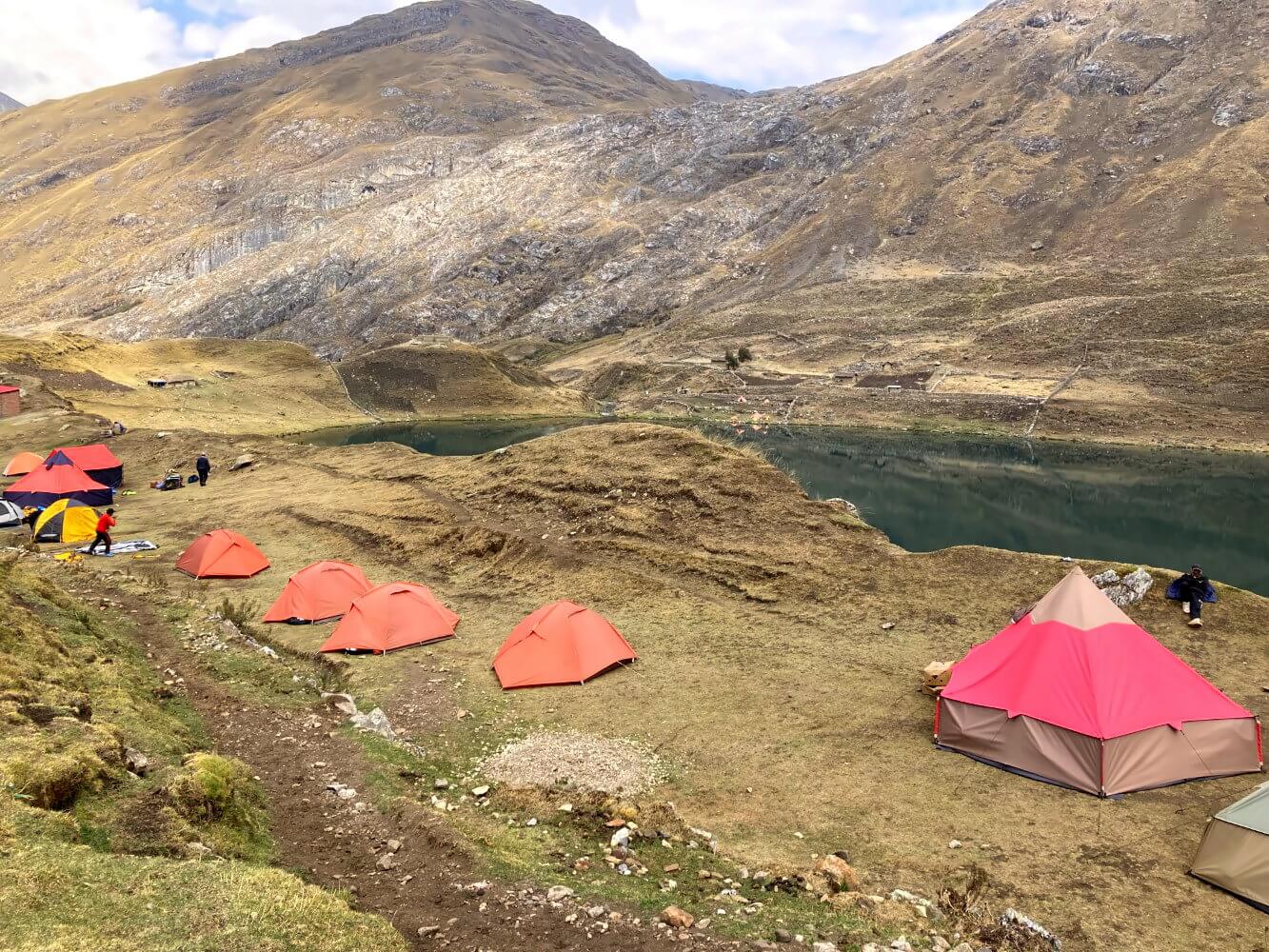
The next camp at Laguna Carhuacocha in contrast is stunning. Technically there are two camps here. I stay at the first one which offers a beautiful view across the lake. The view of the Cordillera’s main ridge would probably be spectacular as well if it weren’t for the clouds. After a couple of beers I feel better, though. I arrange with one of the arrieros to have my backpack taken to the next camp at Huayhuash, allowing me to attempt the alpine route tomorrow.
Day 5: – Laguna Carhuacocha – Paso Siula – Campamento Huayhuash: 13.5 km, + 815 m, – 645 m ascent/descent
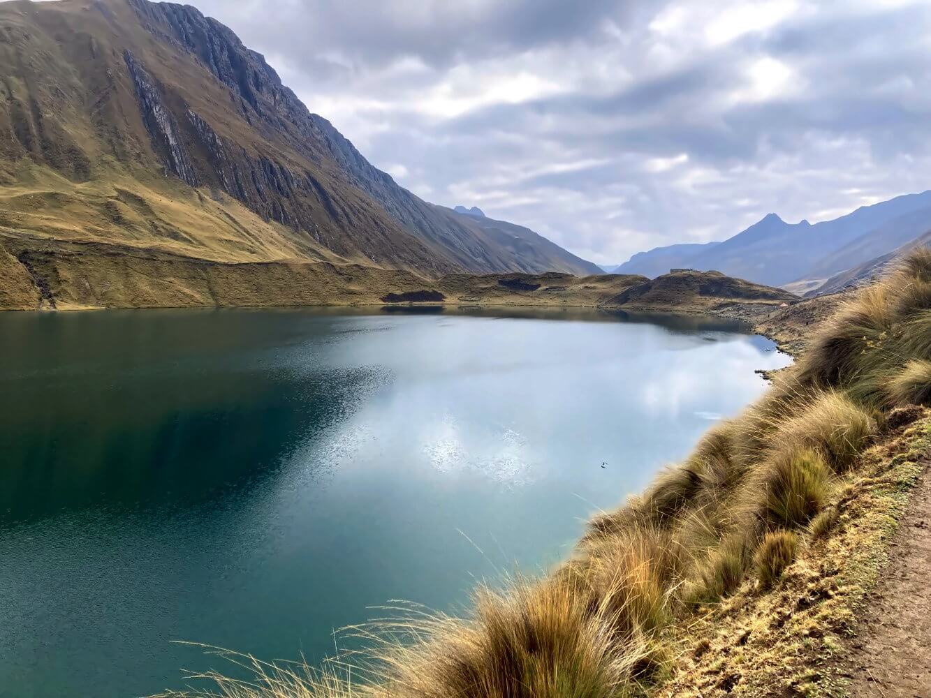
Today turns out to be the best day so far on the Huayhuash Circuit. The weather still leaves much to be desired but the next part of the alpine route follows well-established trails so it should be manageable. I start hiking through a side valley alongside the massive moraines of the Yerupaja Glacier. Later a path climbs up onto one of the moraines, giving me my first great view of the glacial lakes.
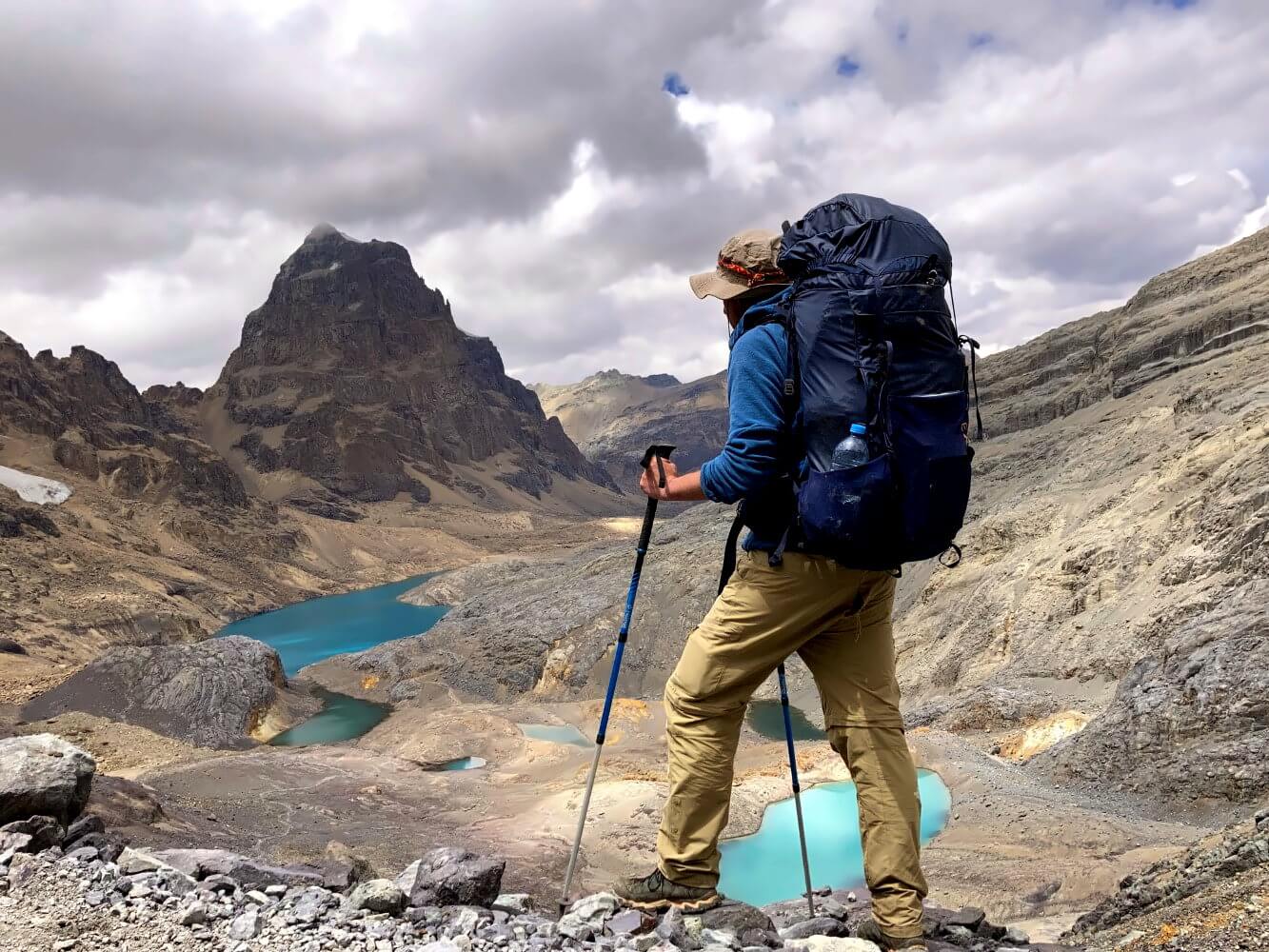
The view from the famous Mirador Tres Lagunas is even better. A steep climb through dense puna grass and then I end up right in front them: three lagoons, strung like pearls beneath the gray rock faces and the glaciers. Behind them rise some of the mightiest peaks of the Cordillera Huayhuash: Yerupaja, Siula Grande, Sarapo, and Jirishanca. Even under a cloudy sky it’s a stunning sight.
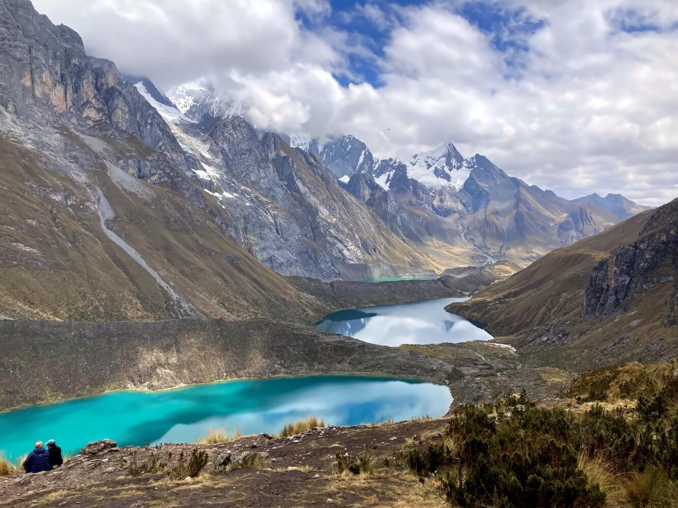
From the Mirador it’s still quite a way to the Siula Pass at 4,800 meters, however. The trail first leads to a large plateau then further up in one last steep ascent. I’m glad that I don’t have to carry my full pack. The climb is not exactly a walk in the park but I finally reach the highest point of the tour so far.
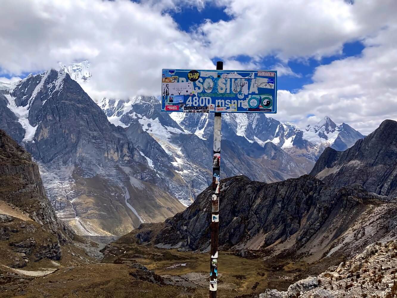
I allow myself a short break and chat along with Ting, a female solo backpacker from Taiwan who recently quit her job and now travels around the world. By chance she got stuck in Huaraz for a few days, heard about this famous trek and decided to join a group. It’s her first time trekking, which, as I’ve noticed by now, happens to be the case for quite a few people I’ve met so far.
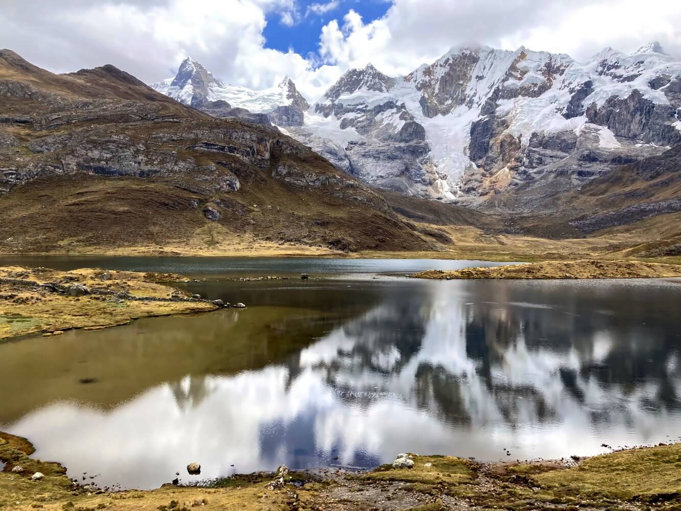
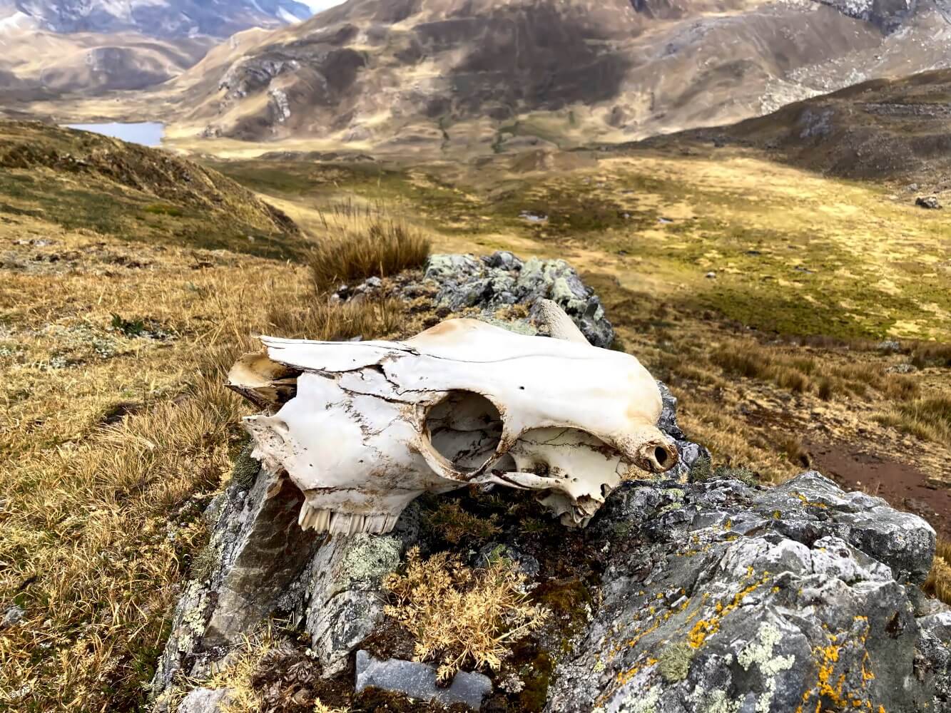
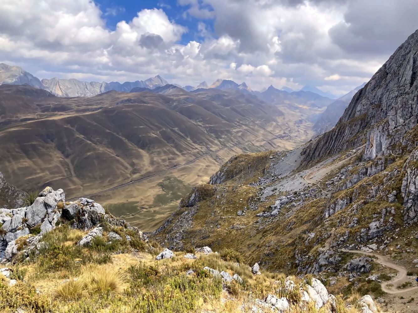
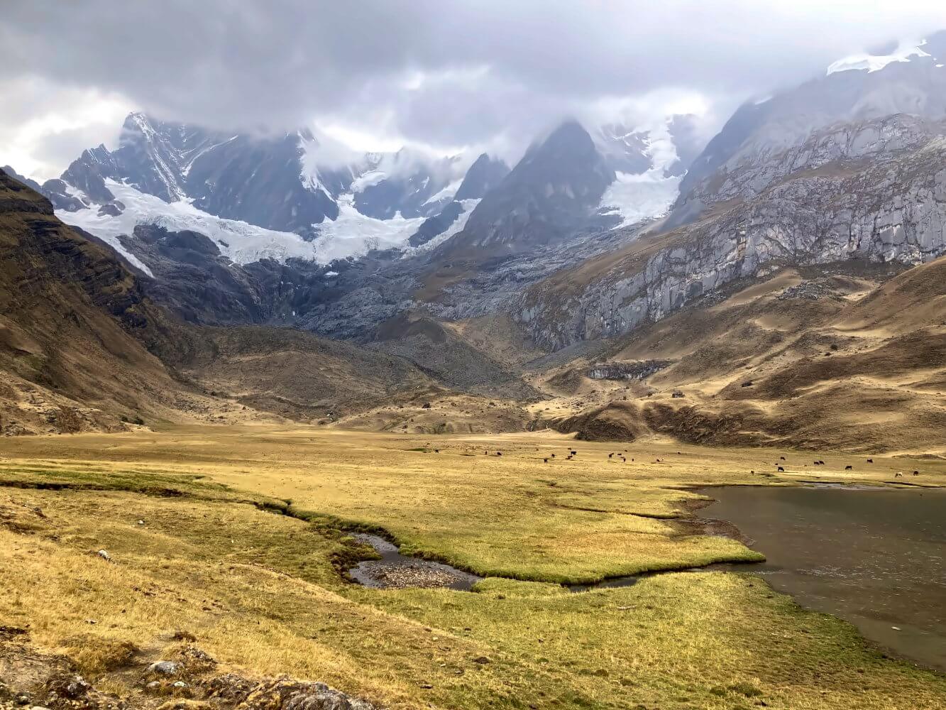
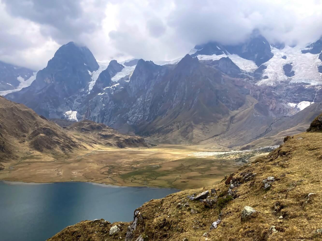
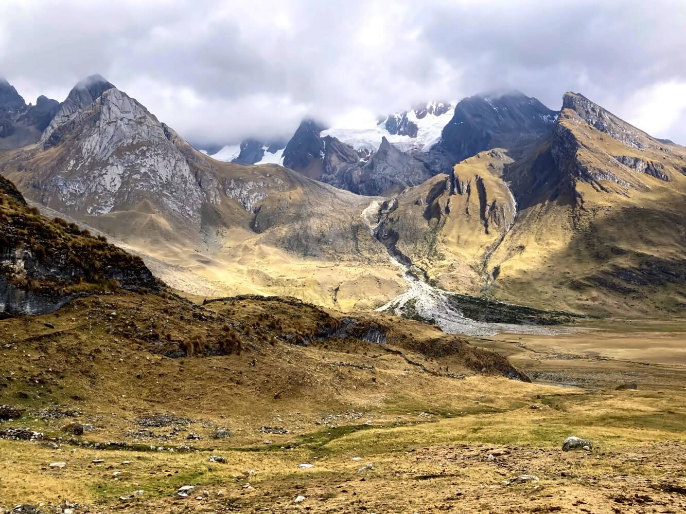
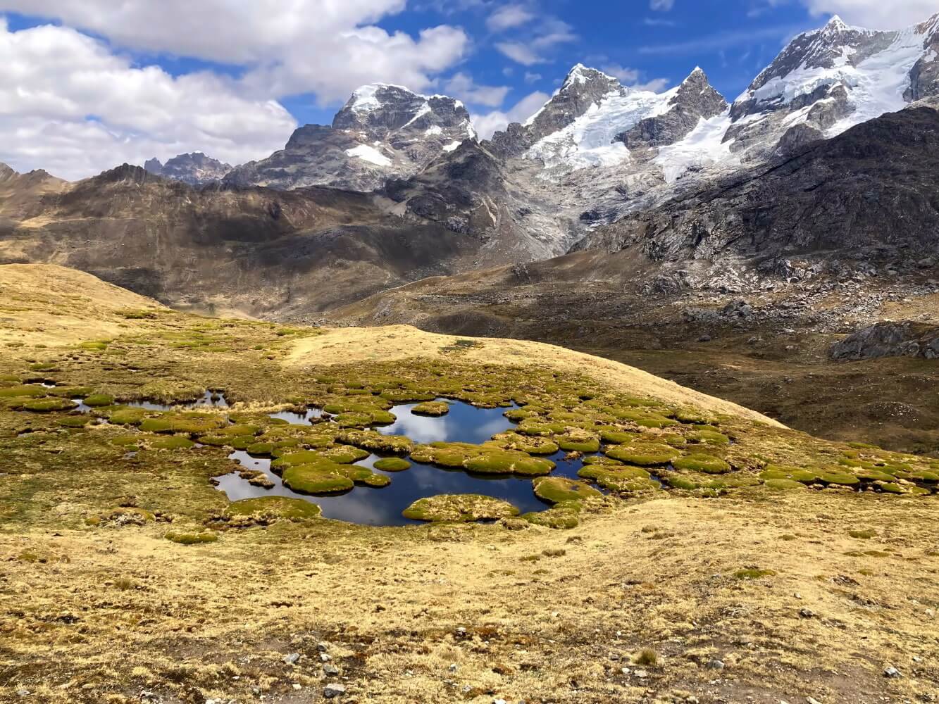
The descent from the pass is another visual treat, featuring rugged high-Andean landscapes where meadows, small ponds and cushions of moss mingle together. In the background the icy summits of the Nevados Carnicero and Jurau rise into the clouds, both seem to be incredibly close. While I try to make my way to Laguna Carnicero, I lose the path yet again and have to hike the last stretch cross-country. Not that I care, with views like that:
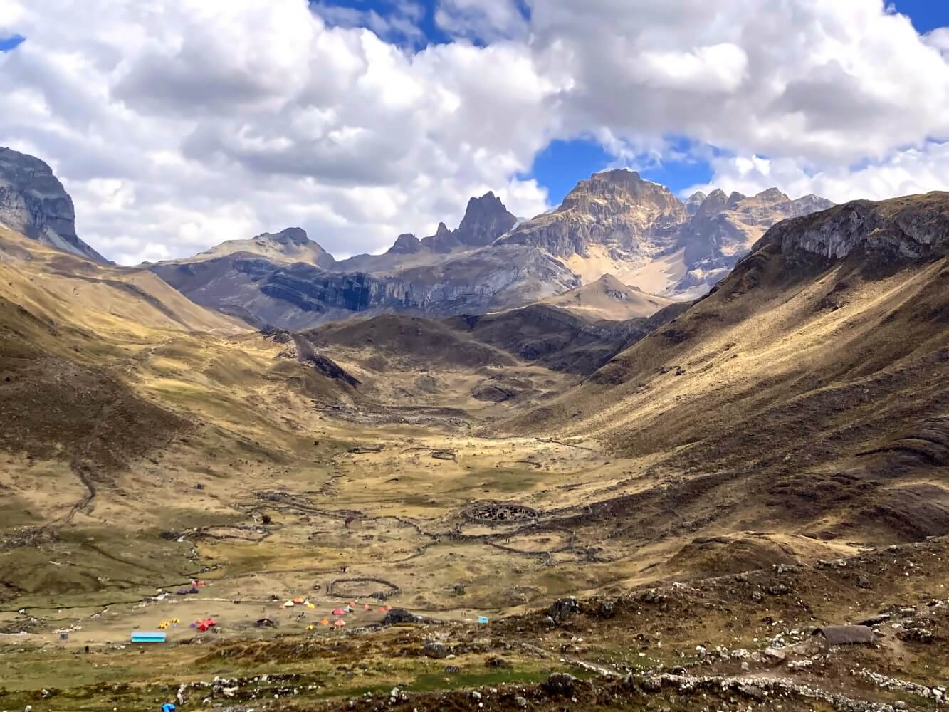
Campamento Huayhuash is perhaps the most beautiful camp so far despite not being directly situated at a lake. It’s in a huge valley hollow, framed by the jagged peaks of the mighty Trapecio Massif. It reminds me of a wilder, larger, kind of Andean version of the famous Dolomites in Europe. An immensely wild, primeval landscape which shrinks tents, shelters and people to the size of toys.
Day 6: Campamento Huayhuash – Paso Trapezio – Huayllapa: 26 km, +695 m, -1530 m ascent/descent
The next morning the weather is good, but as always I’m not sure if it’s going to hold up. Still, I’m keen to take the alpine route to Trapecio Pass, again with a little help of a friendly arriero. Last evening, William, one of the muleteers, offered to carry my pack up to the pass for 50 soles and wait for me. Who’s going to refuse an offer like that? Not me.

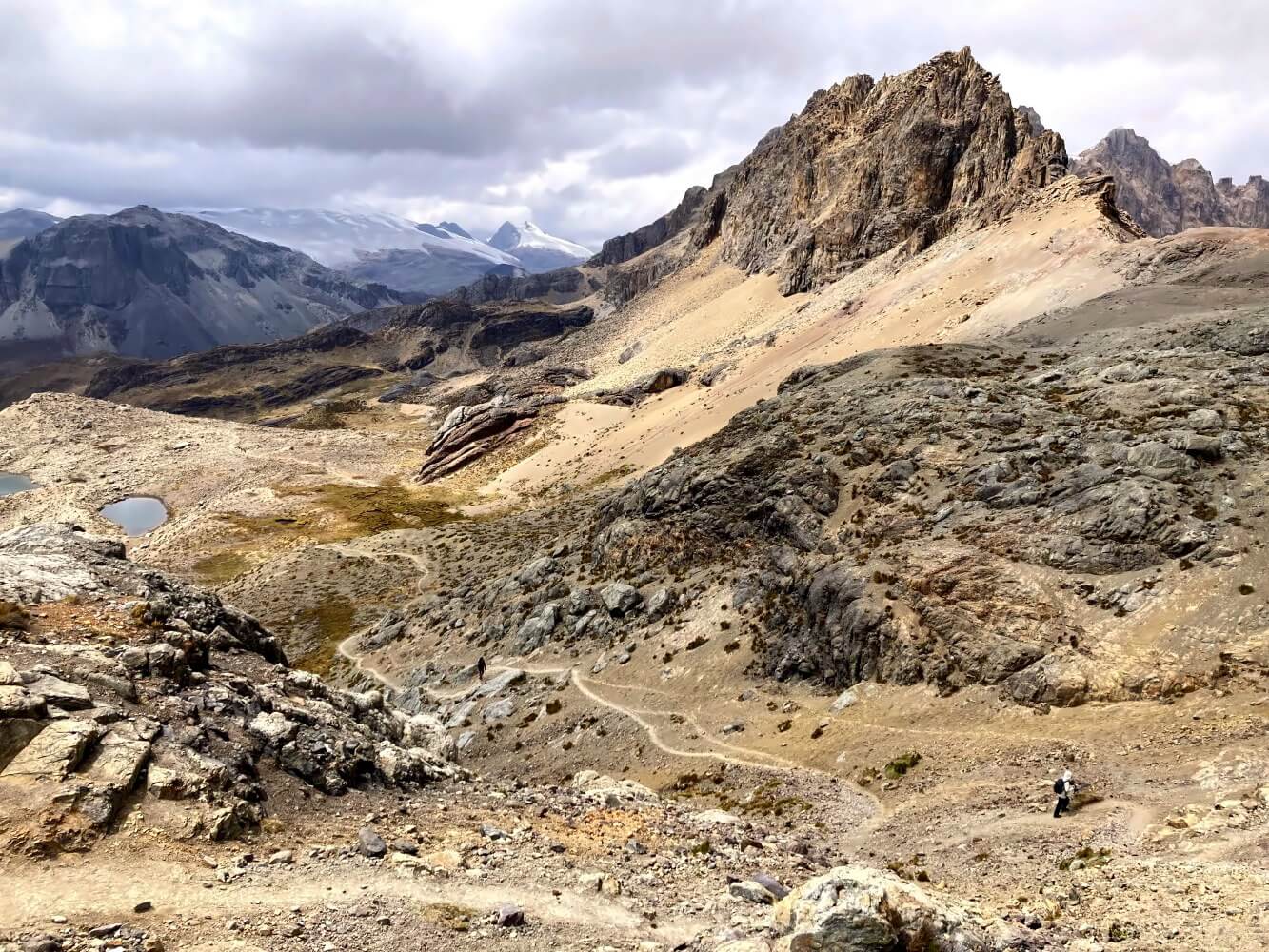
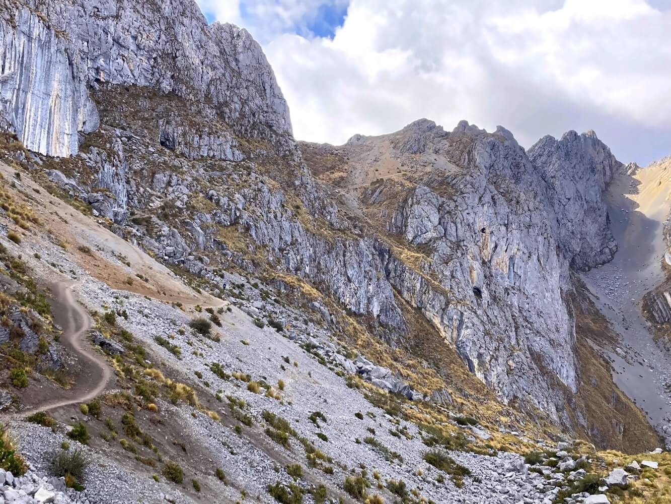
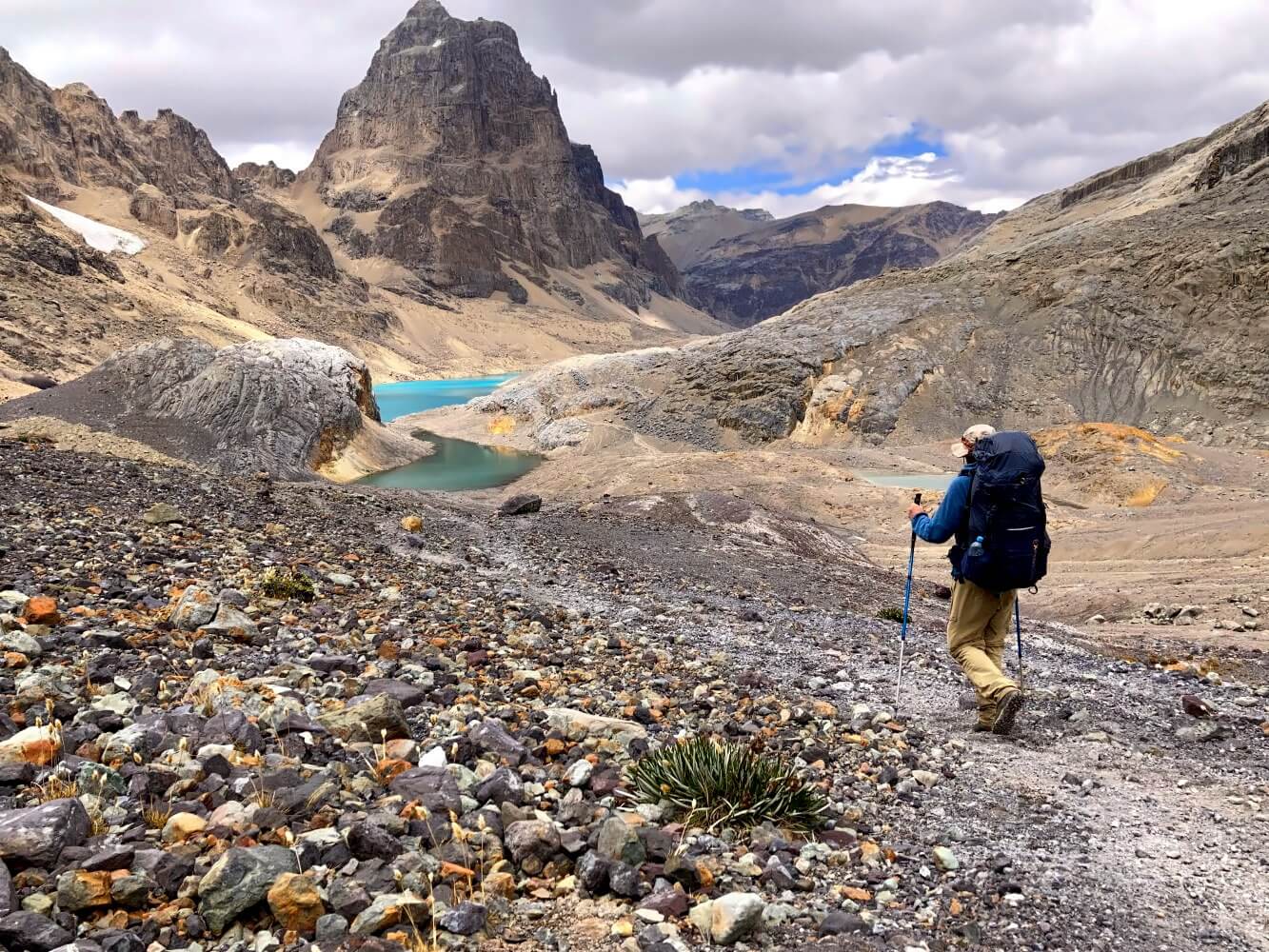
The climb is challenging even with just a day pack, but the views up on the top make it all so worthwhile. The slopes of the glaciers are once again veiled in clouds but the valley behind the pass – Jesus Christ… it seems like I just landed on Mars. The landscape almost defies words. Completely alien, absolutely wild, absolutely breathtaking.

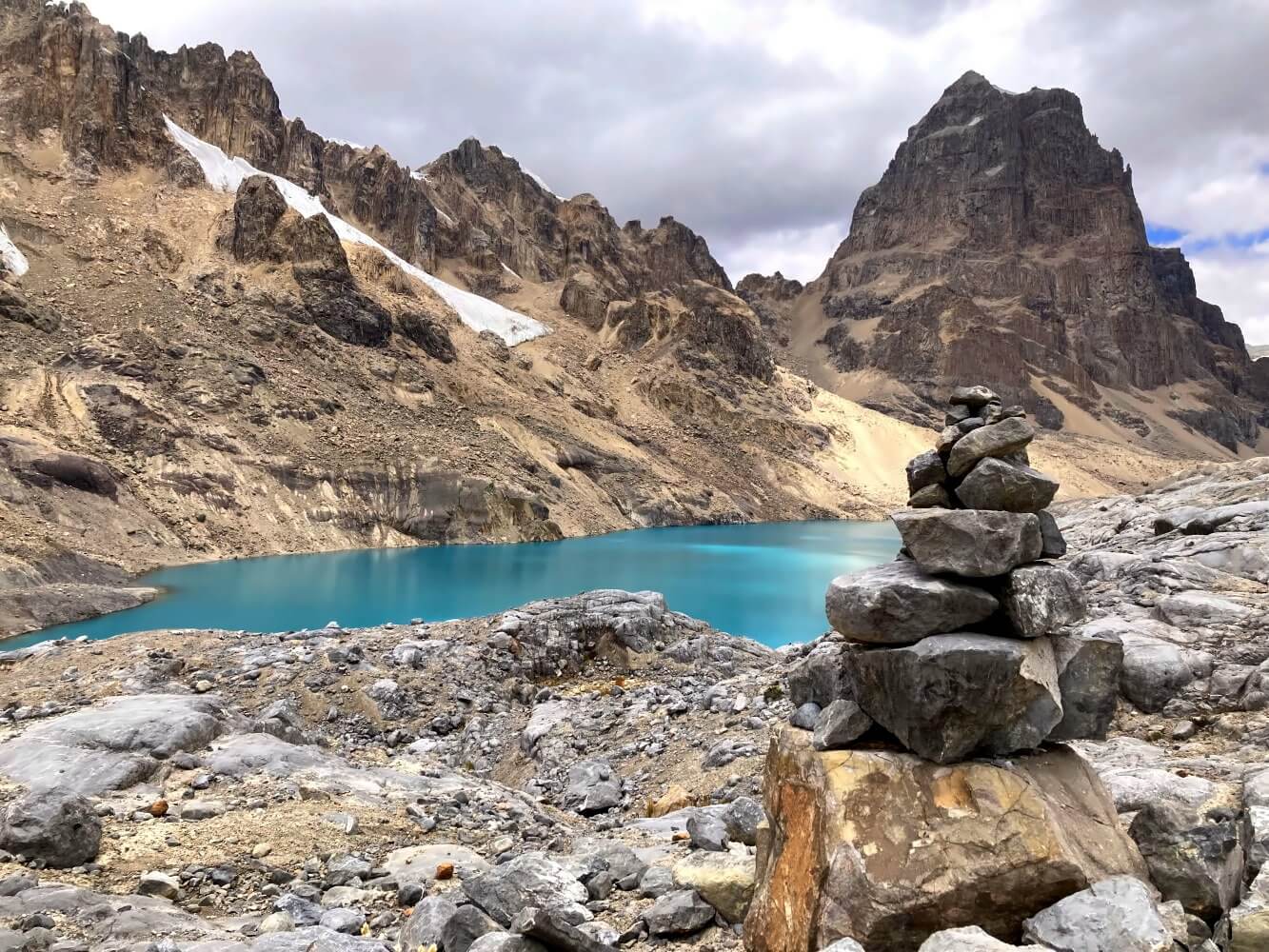
So far, this valley is my favorite sight on the whole Huayhuash Circuit. The reddish rock walls and the small lagoons with their videogame-like vivid turquoise form an almost surreal contrast. Behind them the perfectly scuplted colossus of Trapecio watches the scene like a huge silent sentinel. What a splendid desolation – this is a place where you should spend a night in camp on general principle.
However, it’s a bit too early for that and the weather isn’t exactly inviting. Cold winds sweep over the bare rock faces polished smooth like a mirror by the glaciers. I start to wonder whether it’s really the best idea to take the pathless route over Paso Jurau that I wanted to do originally. In the end I decide to take the regular trail to Campamento Elefante instead. The camp is aptly named: it sits beside a winding river that, from above, looks at least somewhat like an elephant’s trunk.
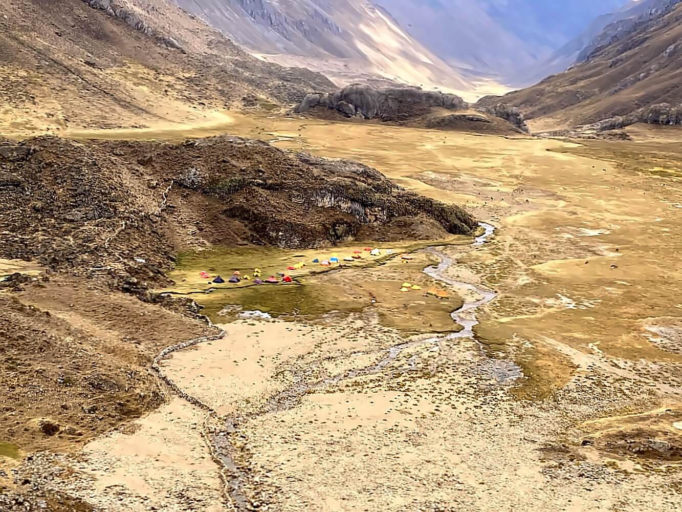
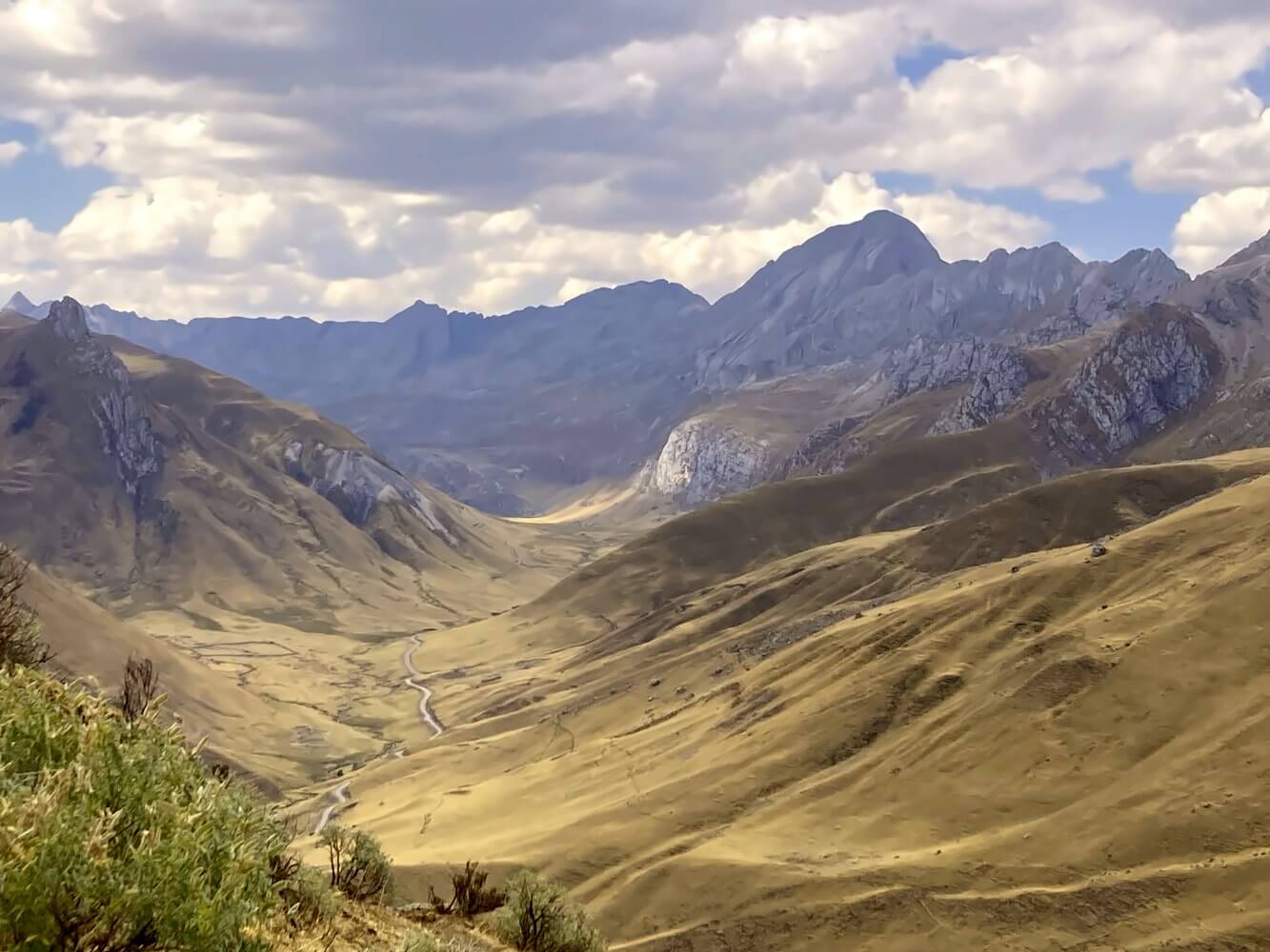
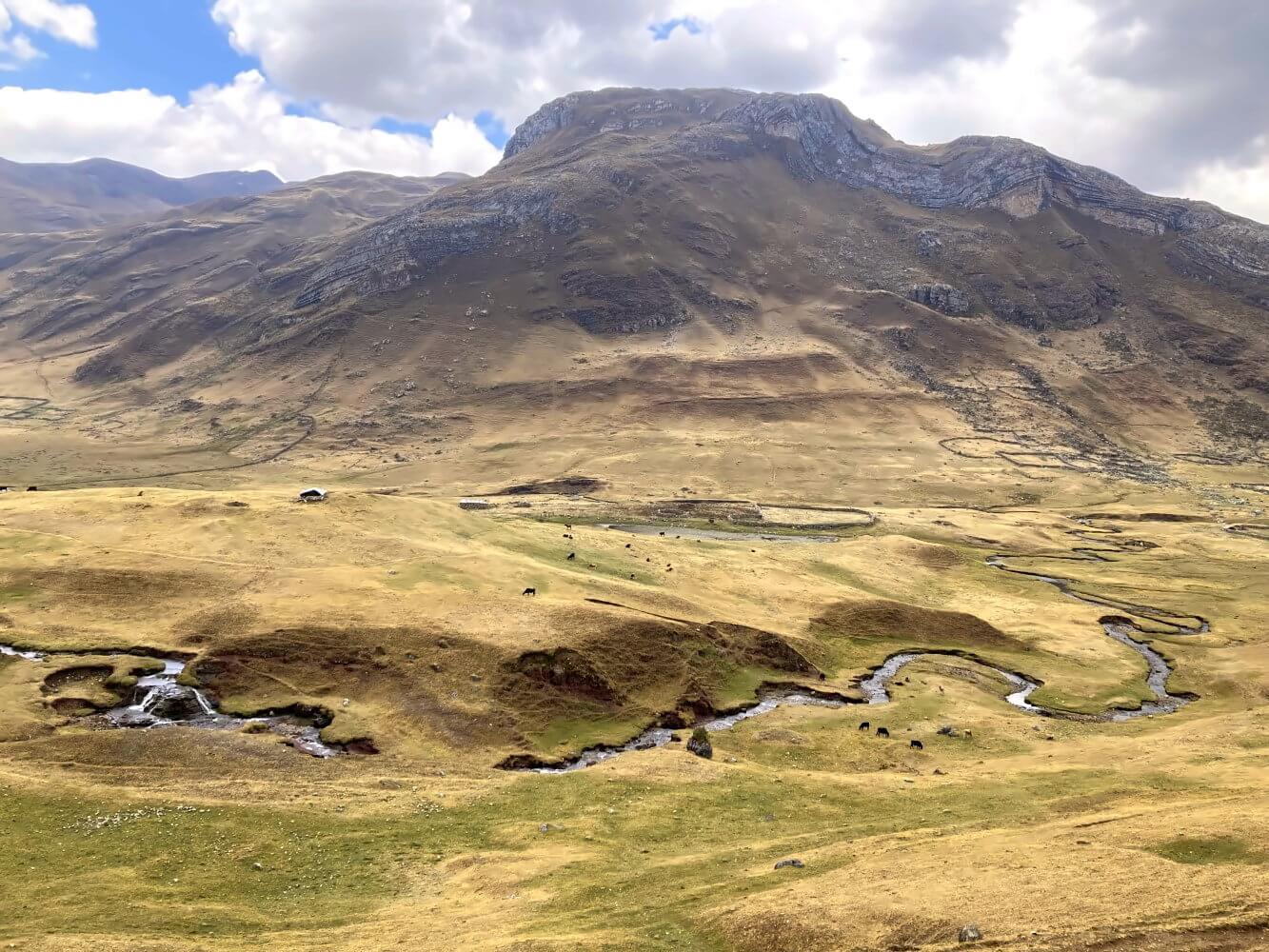
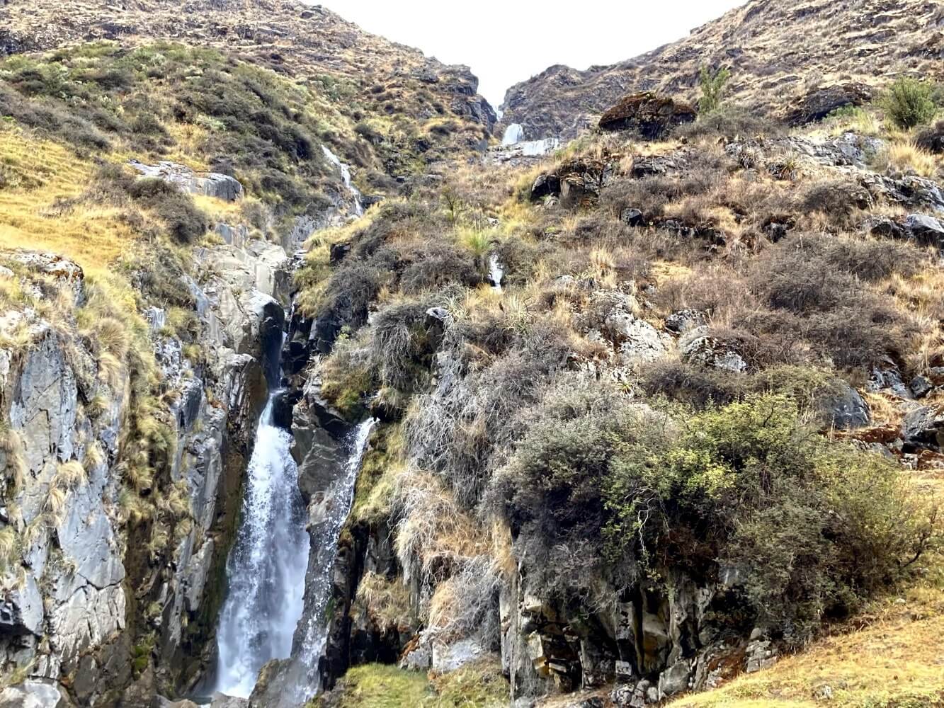
It’s only noon now and I don’t want to spend half the day idling in camp. So I decide to keep pushing on to Huayllapa. The arrieros at camp estimate I could make it in 4 to 5 hours as it’s all downhill. The first part of the trail is fairly dull as I follow a broad valley without much in the way of pretty sights. Later the path splits, one for mules and one for hikers. I take the rocky hiker’s trail leading down and enjoy spectacular views passing a waterfall while I clamber to the lower part of the valley.
Just as dusk falls I arrive in Huayllapa. It’s around 6:00 p.m. and I manage to find a room at the Siula Lodge for 40 soles. Tomorrow I could take another pass over to Gashapampa then loop back along the western edge of the Cordillera to Laguna Jahuacocha. But I’ve already covered this section on the way in. Doubts start to creep in. Another pass? Hmm… no, I’ve had my fill of ice-capped mountains by now. If I’m being honest with myself I’m craving for warmth, the Amazon is calling.
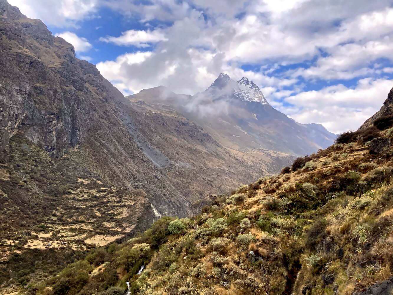
And so, finally, I decide to finish my trek through the Cordillera Huayhuash in Huayllapa. Organizing the transport for the next day is simple enough and that’s it. The premature finish means I end up two days ahead of schedule. Which is not such a bad thing after all, as it gives me ample time to prepare for the long long journey north, into the mysterious Chachapoyas region. But that’s a story for another post…
So much for my trip. Following are some practical tips if you’re planning to do the Huayhuash Trek yourself. The advice applies to both individual trekkers and those going with a guide.
Route of the Huayhuash Trek
As mentioned above, there are several routes around the Huayhuash massif. However, there´s a kind of standard route in 8 daily stages which almost all guided tours follow. This route combines sections of the valley variant with the Alpine Circuit. It starts in the provincial capital of Huaraz where trekkers transfer directly to Quartelhuain, the start of the trek.
Map of the Huayhuash Circuit in 8 days (click to enlarge):
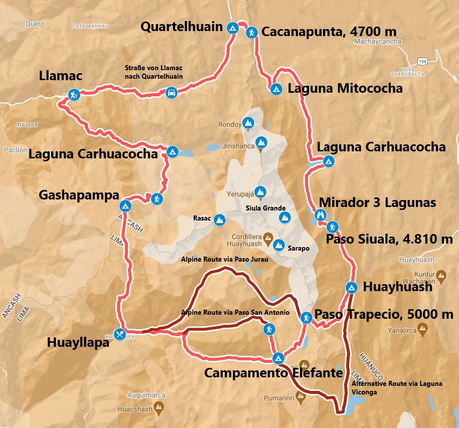
The stages of the 8-day version of the Huayhuash Circuit are as follows:
| Stage | Route | Distance | Altitude gain | Highest Point |
|---|---|---|---|---|
| 01 | Transfer from Huaraz nach Quartelhuain – Paso Cacanapunta – Laguna Mitococha | 8 km | + 600, – 520 m | Paso Cacanapunta, 4.700 m |
| 02 | Mitucocha – Paso Yanapunta – Laguna Carhuacocha | 11 km | + 400, – 500 m | Paso Yanapunta, 4.615 m |
| 03 | Laguna Carhuacocha – Paso Siula – Huayhuash | 13 km | +815, – 640 m | Paso Siula, 4.810 m |
| 04 | Huayhuash – Paso Trapecio – Campamento Elefante | 11 km | + 695, – 525 m | Paso Trapecio, 5.000 m |
| 05 | Campamento Elefante – Paso San Antonio – Campamento Elefante – Huayllapa | 19 km | + 515, – 1539 m (with excursion to the pass) | Paso San Antonio, 5.000 m |
| 06 | Huayllapa – Paso Tapush – Gashapampa | 11,5 km | + 1.300, – 280 m | Paso Tapush 4.700 m |
| 07 | Gashapampa – Paso Yauche – Laguna Jahuacocha | 9 km | +390, -865 m | Paso Yauche 4.800 m |
| 08 | Laguna Jahuacocha – Paso Pampa Llamac – Llamac – transfer to Huaraz | 13 km | + 315, – 1.150 m | Paso Pampa Llamac 4.300 m |
My personal highlights were:
- Ascent to Paso Siula with Mirador Tres Lagunas
- Crossing the Paso Trapecio
On these stages I had perhaps the best landscape impressions of the entire circuit. At the Mirador, the famous view of the three lagoons, which you see in almost every photo from the Huayhuash Circuit. After Paso Trapecio, the hike through an alpine valley shaped by ancient volcanic craters, reddish rocks, and almost surreal sparkling mountain lakes. Pure hiking magic!
Elevation profile of the Huayhuash Circuit with campsites (click to enlarge):

Alternative Routes
There are also tours offered for 10 or 12 days. Three popular alternative routes include:
- From Camp Huayhuash continue to Laguna Viconga. Here you will find thermal baths to relax. However, you would miss the Trapecio Pass and the incredibly beautiful valley afterwards.
- Cross Paso San Antonio northward and continue in a parallel valley to the main trail to Huayllapa. The hike features a steep descent over scree, alpine experience is advisable.
- After Paso Trapecio hike on the Alpine Circuit over Paso Jurau to Siula Grande Basecamp, the site of the drama from Touching the Void. Then continue to Huayllapa. You will have to cross a glacier and hike partially off-trail at altitudes over 5,000 meters, alpine experience is also advisable.
For hiking-pros: the Huayhuash Alpine Circuit
Aside from the regular Huayhuash trek (Valley Circuit) there is a more challenging alpine option, the Huayhuash Alpine Circuit. This route lasts only 7 days but includes several sections requiring technical mountaineering gear. Additionally, you will face multiple glacier crossings and there’s generally quite a lot of off-trail hiking in alpine terrain.
In theory you could almost walk the entire Alpine Circuit as a hiker, since there are only two passes requiring technical equipment. The rest is essentially “just” walking. So much for the theory. In reality, hiking off-trail at over 4,000 meters for extended periods of time is something else and not your normal trek. Therefore, for this route you should have solid alpine experience.
I originally intended to cover all the hikeable sections of the Alpine Circuit, including the glaciers. In the end, the weather was not safe enough as it rained almost every day. So I only walked the two alpine sections which the guided groups usually also do:
- Ascent to Paso Siula with Mirador Tres Lagunas
- Crossing of Paso Trapecio and descent to Campo Elefante
These sections have now become almost a part of the “normal” circuit since they are quite easy, almost everyone does them. They were also my highlights, and I would definitely recommend them. The technical difficulty is manageable, it’s still normal hiking albeit in pretty rocky terrain at high altitudes.
Personally, I would guess the Alpine Circuit is more exciting than the normal route in terms of trails and views. You get much closer to the mountains and have more chances to walk among them, not just admiring them from afar. Here you can find more information about the Huayhuash Alpine Circuit.
Note: Recently there have been disputes with locals over the payment of the trail fee. Certain sections of the Alpine Circuit are currently closed. Further information.
Starting in Llamac or Quartelhuain?
Back in the days, the start of the circuit was in Llamac, and that’s where I also started. On the first day I walked to Laguna Jahuacocha, the next day continuing to Quartelhuain. The first half of day two with its spectacular views of the glacier of Yerupaja Grande was worthwhile. The rest of the trail, at least for me, was more like “okay, but not essential.” I personally think the route offered by the tour providers is actually better here.
Ending the Huayhuash Circuit in Huayllapa
You can finish the hike in Huayllapa if you wish to. It´s a small village to the south of the Huayhuash massif, where you will find some hostels. I personally stopped here after 6 days as the weather was a mixed bag, I didn´t expect major scenic highlights on the last two stages and also because I had no desire to walk over another pass.
Unfortunately, the departure was a bit complicated, as you have to travel back to the coast from Huayllapa and only then to Huaraz (see notes on getting there below). If you start in Quartelhuain and haven’t seen Laguna Jahuacocha yet, I would recommend continuing from Huayllapa to Llamac.
Getting to the Cordillera Huayhuash
The usual starting point for tours in the Cordillera Huayhuash is Huaraz, the capital of the Ancash province. From there, you need to go to Chiquian, which is the nearest larger town. From Chiquian, you continue to Llamac or Quartelhuain, depending on where you start – I would recommend Quartelhuain.
Huaraz – Chiquian
There are two bus rides daily from Huaraz to Chiquian, at 5:00 AM and 2:00 PM. The journey takes about 3 hours, the bus company El Rapido is located near Plaza de Armas. The fare is 20 soles. It is sufficient to buy the tickets on the same day.
Chiquian – Llamac/Quartelhuain
Only one bus leaves from Chiquian to Llamac daily at 5:00 PM. Before the COVID pandemic, there were reportedly 3 connections, and the schedule may be expanded again in the future. Otherwise only a taxi remains: 150 soles to Llamac, 200 soles to Quartelhuain. The journey on the dirtroad to Llamac (in Europe we would call that a hiking trail…) takes about 1.5 hours. The recommended taxi company in Chiquian is Turizmo Nazario.
Return Trip to Huaraz
If you want to return from Llamac, ask for the taxi driver’s phone number in advance and text/WhatsApp them before you expect to arrive. Llamac is a tiny village where only one bus to Chiquian departs daily around 4:00 AM. Organizing a taxi spontaneously would be difficult or maybe even impossible. From Chiquian you can then take the regular bus back to Huaraz.
Return Trip from Huayllapa
If you finish the trek in Huayllapa, you need to take a colectivo to Cajatambo at 6:00 AM (20 soles). From there, you transfer to the next colectivo to the city of Huaura, which lies on the coast (25 soles, 5 hours). From there buses return to Huaraz (e.g., the company ZBUSS). Costs: 50 soles, the journey last another 8 hours roughly.
I would not recommend ending the trek in Huayllapa if you wish to return to Huaraz, as there is no direct route through the mountains. You first have to travel all the way around the neighbouring Cordillera Raura, then to the coast, and finally back into the mountains in the north. The whole detour takes ages, literally. However, if you want to go to Lima afterwards, it’s not a bad option: the distance from Huayllapa to Lima is actually shorter than to Huaraz.
Accommodation in Huaraz
Before you start the Huayhuash Trek, you will probably stay in Huaraz for a few days. There are plenty of accommodation options for every budget, many of which you can find on Booking. My homebase was the Huaraz Colonial Hostel, located just north of the city center.
The hostel is quite a popular backpacker accommodation with a kitchen and a beautiful courtyard, and I met some nice people there. The owners could help me with all my questions and spoke reasonably good English. It’s moderately priced even for single rooms. Overall, a recommendation, even though it’s not directly in the city center (about a 10-minute walk to Plaza de Armas). They also store all luggage you don’t need for the trek without any fees.
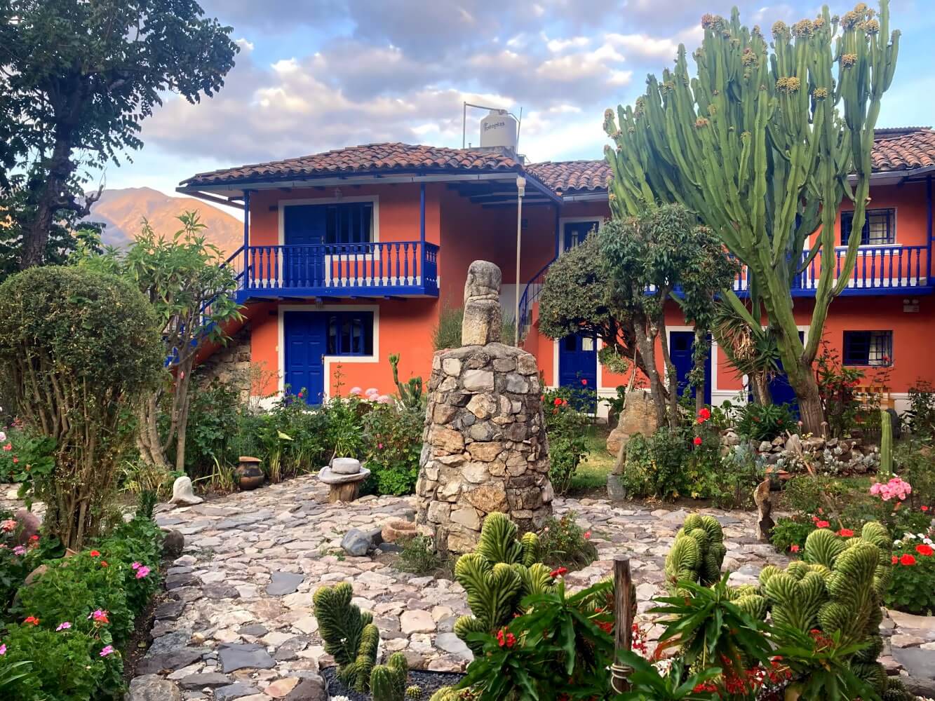
Bonus Tip for Chiquian
The journey to Llamac or Quartelhuain via Chiquian is quite long. Also, no buses leave from Chiquian in the afternoon. Therefore, it could make sense to stay here for a night. In thar case, I wholeheartedly recommend the lovely Hotel Los Nogales (60 soles per night + 20 soles for breakfast).
The hotel has a beautiful garden with walnut trees (spanish: Nogales). Also, the rooms were spotlessly clean. The owner is a lovely fellow and was also able to assist me in all matters, e.g. when I asked about the price for the camps on the Circuit. You won’t find the hotel on Booking, but that’s no problem. I just walked in. There is also an ATM near the hotel.
How difficult is the Huayhuash Trek?
With guide and donkey support, the Huayhuash Circuit is a relatively straightforward hike, at least if you are well acclimatized. Unfortunately, many hikers are not (see notes on acclimatization below). Technically, the trails are relatively simple, meaning if you go hiking on “normal” mountain trails, e.g. in the Alps etc. you shouldn’t encounter any problems here.
Hiking the Huayhuash Trek on your own is more challenging. The reasons being:
- You need to carry all camping gear and supplies. Therefore, your backpack will be quite heavy.
- You hike at high altitudes, usually above 4,000 meters. Even without a big bagpack, walking is more exhausting.
- The route is not really signposted, some stages also have short off-trail sections. You should know, at least roughly, how to navigate in a mountain environment.
- There is little infrastructure along the way, only the provisional campsites. In case of problems, you have noone but yourself to rely on.
Going solo, I would only recommend the Huayhuash Trek for hikers with some experience. While it’s a well-known and frequently traveled route, it is better if you already hiked at such altitudes before and know your own limits. Also knowledge how to handle unforeseen situations (bad weather, exhaustion, getting lost, etc.) is essential.
Packing List for the Huayhuash Trek
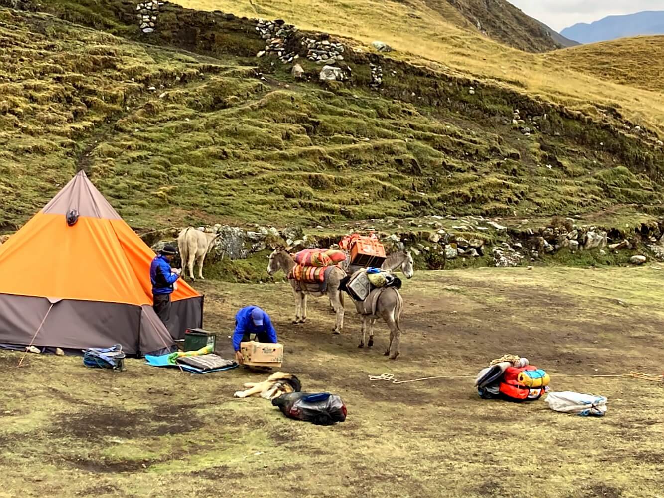
The required gear for the Huayhuash Trek is essentially the same as for the Santa Cruz Trek. If you hike with a guided tour, it´s simple: most of the camping equipment will be provided. You will then only need a daypack (about 20–30 liters), appropriate clothing, and a few personal items. You can rent a sleeping bag in Huaraz for a few days if necessary, but I would recommend bringing your own if you already have one.
Packing List for the Huayhuash Trek:
- 1 Merino T-shirt for daytime
- 1 Comfortable hiking pants
- 1 Long-sleeved Merino shirt for evenings
- 2 Pairs of comfortable hiking/trekking socks
- 2 Merino underwear
- Fleece pullover for changing
- Hat
- Sun hat
- Sunglasses
- Pair of trekking poles
- Lightweight down jacket for evenings
- Headlamp for evenings
- Small travel towel
- Water bottle
- Power bank
- Camera
- Toiletry bag
- Personal hygiene items
- Toilet paper
- Insect repellent
- Snacks
Camping Gear for the Huayhuash Trek
If you’re doing the Huayhuash Trek on your own, you’ll need complete camping gear, including a tent, warm sleeping bag, and provisions. You will likely need food for about 8 days, so your backpack should be large enough. I used the Exped Thunder 70 which was more than sufficient. A 60-liter backpack should also work. Check out my packing list for tent trekking.
Here are a few additional notes on the peculiarities of the Andes:
Clothing: Above 4,000 meters it gets very cold as soon as the sun disappears. Even during the day, just a cloud in the sky will lead to shivering on your part. Therefore, a warm fleece jacket, a hat, and a lightweight down jacket for the evenings are essential. After 6 PM in the evening temperatures quickly turn arctic.
Sleeping Bag: Your sleeping bag should keep you warm to about -10° Celsius. While I was there, it was only ever slightly below zero at night. But I did the Circuit at the end of September, i.e. at the beginning of the warm rain season. The locals told me it can get a alot colder in June and July.
Tent: At high altitudes, you can expect it to rain at any time of the day, strong winds are also possible. I witnessed several very rainy days. The tent should be able to cope with bad weather and provide solid rain-protection. However, a full 4-season-tent is not necessary. My trusty Hubba Hubba NX was completely sufficient.
Rain Protection: Speaking of which, a good rain jacket to avoid getting cold should be a top priority as well. I always use a 3-layer Goretex jacket, the Montbell Storm Cruiser, which served me well. A pair of gloves is also sensible—the combination of cold and rain is very unpleasant.
Footwear: Most trails are technically quite simple, but there are occasionally short off-trail sections, sometimes over boggy and muddy ground. I used the Meindl Litehike GTX lightweight hiking shoes for these and other hikes in the Andes and was very satisfied with them.
In my opinion, heavy leather or mountaineering boots are unnecessary if you stick to the regular valley route. This is also true for the two alpine sections that the groups usually tackle. However, I also wouldn’t necessarily recommend trail runners with a heavy backpack. I think lightweight hiking shoes or trekking shoes are the best choice for the tour.
Sun Protection: Definitely bring sunscreen with a strong SPF of 50. UV radiation at high altitude is considerable. Additionally, bring something to cover your head. I prefer a sun hat with a wide brim.
Toilet Paper: Near the official campsites, you will usually find a toilet facility, where you can take care of your business. However, there is no toilet paper, so it’s best to bring 1-2 rolls.
Emergency Beacon: I carried a satellite messenger on the tour, i.e. a portable receiver that works without mobile service and allows you to send messages and make an SOS call in case of emergency. There are various models; for my purposes, I found the Garmin InReach Messenger to be the best.
Important: In the Cordillera Huayhuash, you will have little to no mobile reception in most places. Sorry… but the Instagram photos from the three lagoons will have to wait. Download the GPS track of the route to your phone or GPS device and save the map offline beforehand.
Food and Supplies
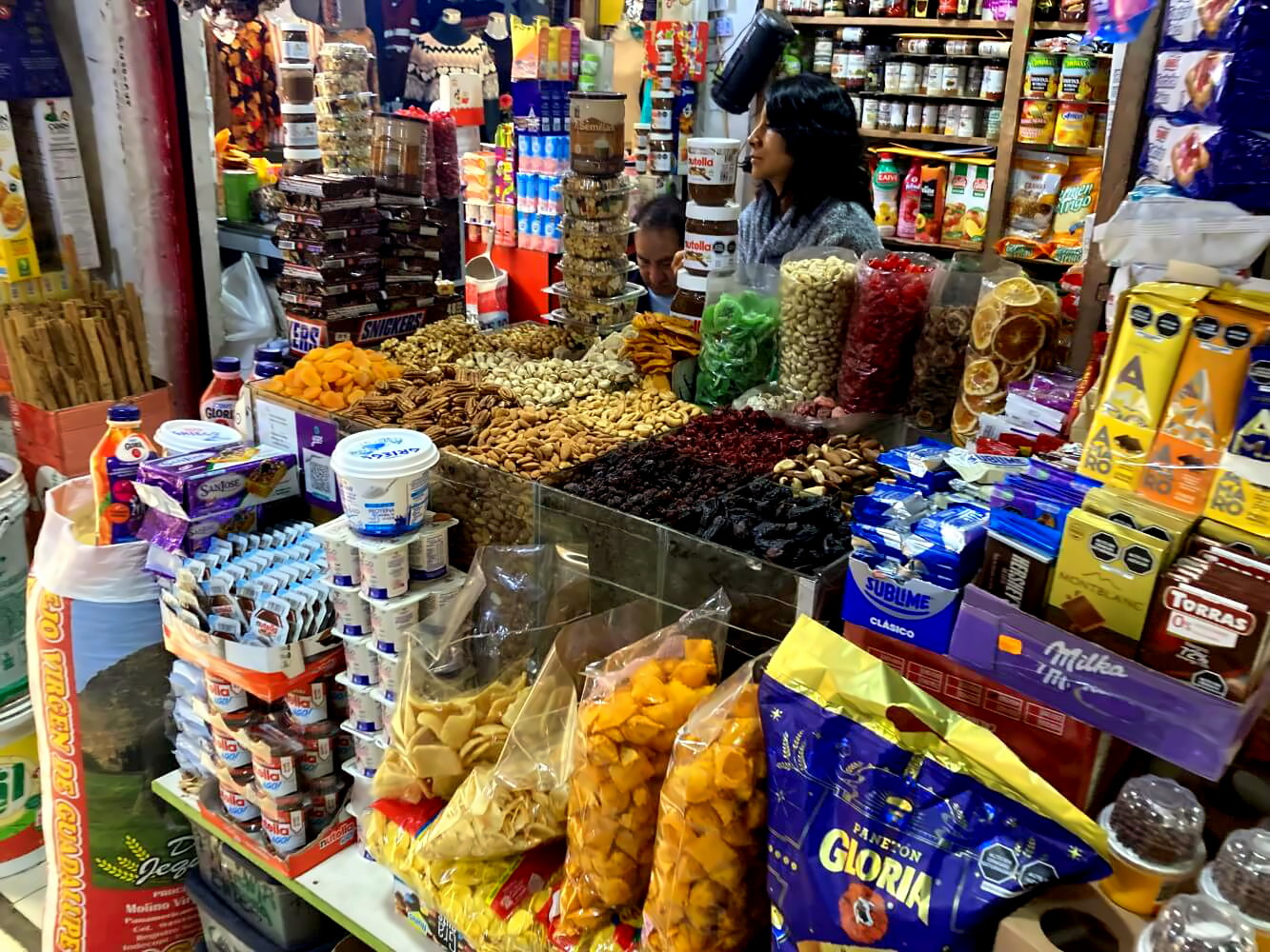
For independent treks, you’ll need provisions for about 6-8 days, depending on the duration of your trip. Along the trail, there is only one place to restock supplies, which is the small village of Huayllapa, located two days before the end of the trek in Llamac. There, a few small stores (tiendas) offer instant noodles and other basics, though the selection is quite limited.
Additional Options:
- At nearly all campsites, you can buy beer, soda, and sometimes chocolate or cigarettes.
- At Laguna Jahuacocha, camp operators can fry fresh trout from the lake for you upon request.
- The same goes for the hot springs at Laguna Viconga, where you should also be able to get a warm meal (based on secondhand information).
I stocked up on all my provisions in Huaraz and gathered these supplies for my dinners:
- Instant noodles as a base
- Dried soy meat (Carne de Soja)
- Toasted wheat flour (Harina de Trigo Tostado)
- Olive oil
Each night, I cooked these ingredients in my camping pot—my go-to meal on all my Peru treks. Not the most creative meal in the world for sure, but relatively nutritious, lightweight, and packed with enough calories and protein.
I also brought:
- Granola bars
- Snickers bars
- Sausages
- Peanuts
- Hazelnuts
- Trail mix
You can buy the instant noodles and soy meat at supermarkets in Huaraz. One recommendation is the Novaplaza Belén near Plaza de Armas. For nuts and other small items, the Mercado Central de Huaraz, just north of the plaza, is a good option.
Water Supply on the Huayhuash Trek
Water on the Huayhuash Trek is easily accessible, with many streams along the way. However, in the valleys cattle abound and occasional I even saw animal carcasses in the streams. So, always consider the water contaminated and treat it before drinking.
I carried my Sawyer Mini water filter, plus a few purification tablets, though the filter alone was sufficient. I drank only from streams and had no issues. I also brought a convenient 2-liter collapsible Platypus bottle for transport.

Costs for the Huayhuash Circuit
Here’s a quick breakdown of costs for trekking the Huayhuash independently, covering camping fees, transport costs, and estimated provisions.
Campground Entry Fees
Since the Cordillera Huayhuash is not a national park, there’s no standardized fee like on the Santa Cruz Trek. Instead, each community charges a small fee to use campsites within their territory. The gatekeepers feel a bit like modern-day highwaymen, admittedly. But at least the camps are kept clean in return and the trail is safe, in the past there have been occasional robberies.
The current fees on the Huayhuash Trek are:
| Location | Fees |
|---|---|
| Llamac, also covering the camps at Laguna Jahuacocha und Quartelhuain | 50 Soles |
| Campsite at Laguna Mitococha | 40 Soles |
| Campsite at Laguna Carhuacocha | 40 Soles |
| Campsite in Huayhuash | 30 Soles |
| Campsite/ thermal springs Campsite at Laguna Viconga | 30 Soles |
| Huayllapa entry/campsite fees | 50 Soles |
| Campsite in Gashapampa | 30 Soles |
Total entry cost: 270 Soles
Fees are per person and yes… you have to pay in cash, so bring enough small bills. You’ll get a receipt, which you should keep handy in case you need to show it later. Prices are non-negotiable. With luck, you might find that the community collector in charge isn’t present, as was the case for me in Huayllapa.
Transport Costs
I would recommend starting in Quartelhuain. For a taxi from Chiquian expect to pay about 200 Soles, which can be split among several people of course.
- Bus from Huaraz to Chiquian: 20 Soles
- Taxi from Chiquian to Llamac or Quartelhuain: 150 or 200 Soles
- Return taxi from Llamac to Chiquian: 150 Soles
- Bus from Chiquian back to Huaraz: 20 Soles
Total transportation cost: 300–350 Soles
Food/Supplies
This varies from person to person naturally and also depends on trek length. For an 8-day trek, budget around 200 Soles per person.
Total Huayhuash Trek cost: 770 Soles (or 820 Soles if starting from Quartelhuain)
This excludes beer and soda at camps (approx. 5–10 Soles each) and potential luggae transport by a muleteer, should you need one (about 50–70 Soles per trip).
The 770 Soles is a minimum price, assuming you carry everything yourself, don’t buy extra, and already have your gear. Also, factor in a potential overnight stay in Chiquian.
Huayhuash Trek with or without a Guide?
I did the Huayhuash Trek independently, as I usually prefer to do when trekking. However, if I were to do it again, I would actually consider joining a tour. And no… this isn’t because I suddenly dislike lugging a heavy pack through the mountains. It`s just… I personally found that independent trekking on the Huayhuash Circuit didn’t add that much extra value.
There are two main reasons for that:
- Everyone uses the same paths and campsites, with the only difference being that guided trekkers carry just a daypack and have meals prepared for them, while independent trekkers have to lug around a 20-kilo backpack and cook for themselves.
- The logistics are not that straighforward and it’s costly, whereas guided tours are relatively affordable and include all transfers, making things much easier without a significant difference in price.
Safety might also be a consideration, though I didn’t feel this was a big issue. With some experience, you can easily do this trek solo. It just seems unnecessary to complicate things when it can be simpler.
Admittedly, my perspective may be influenced by the fact that before the trek I spent nearly three weeks hiking completely alone through the lesser-known Cordillera Vilcabamba. There, I had no choice. On the Huayhuash Trek, however, I did. And, let’s be honest – it’s not as if you’re blazing new trails here. Basically you do the same tour everyone else does.
That’s not necessarily a bad thing, of course. You can just make it a bit easier on yourself. Just my opinion, of course, but it’s worth considering, especially if you follow the standard route. On the Alpine Circuit, you’ll likely encounter fewer people, so going solo could be more exciting (assuming you have the necessary experience).
What to expect on guided tours on the Huayhuash Circuit
In Huaraz, almost every trekking agency and tour operator offers the Huayhuash Trek. You can easily book it locally. The cost for an 8-day tour is around 1400-1500 soles (approximately 350 euros), which is very affordable for such a trek. The price usually includes everything:
- Round-trip transfer from Huaraz
- Trained guide
- Full provisions with a cook during the trek
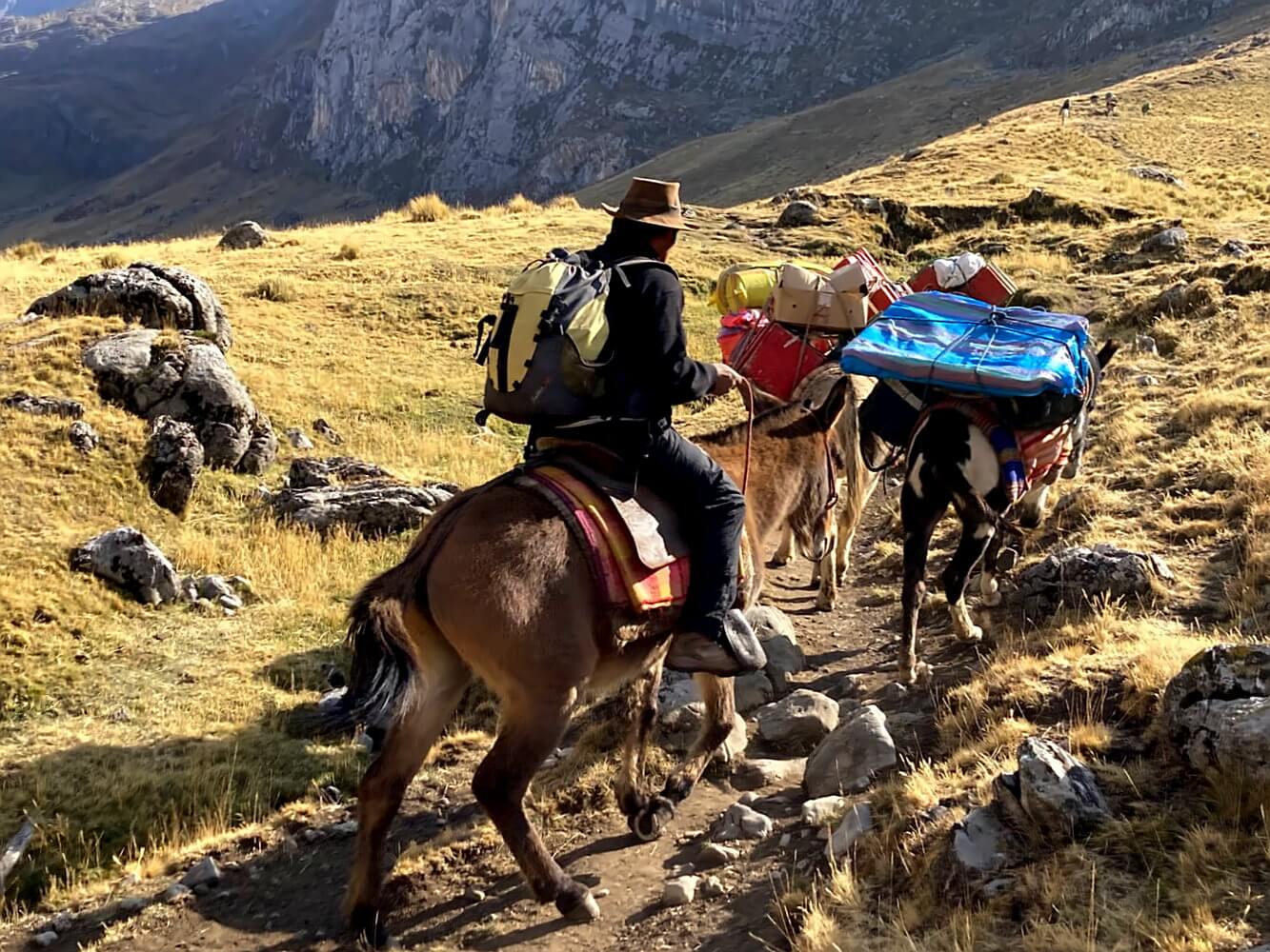
- Mule transport for gear
- Fees for campsite usage
The trekking days are relatively short, about 6 hours. Groups leave the camps early, usually by 7:00 am. You’ll arrive at the next camp by 1:00 pm, giving you the rest of the day free. Heavy gear is sent ahead with the mules, so you only carry a small daypack.
Setting up tents, cooking, etc., is handled by the support team. You just need to hike and enjoy the scenery – it’s all very convenient.
If you’re too lazy to search or short on time, you can also book the Huayhuash Trek online, for example here:
I personally recommend arranging a guided tour locally in Huaraz. It might take a bit longer, but local agencies offer similar programs at lower prices. You can also ask at your hostel, some of them offer the trek too.
Tips for solo trekking the Huayhuash Circuit
As an independent trekkers you have more flexibility in regards to route choice and you can decide when to start and take breaks. However, as mentioned, I didn’t find this to be a huge advantage. That said, it’s up to you. In any case you’ll need to manage a heavier backpack and be able to navigate in the mountains.
I recommend bringing maps and either a GPS device or a smartphone with the track of the trail. It’s also smart to pack 1-2 extra days’ worth of food in case of delays, for instance due to bad weather. Make sure you also bring plenty of small bills for campsite fees.
Having some cash reserves isn’t a bad idea either in case you decide to hire a muleteer along the way to carry your bag to the next camp. The cost is somewhat negotiable. I hired someone twice, paying 40 and 50 soles, respectively. You can easily find someone at the camps, the locals gladly help you because they are willing to earn some extra money.
Is the Huayhuash Trek safe?
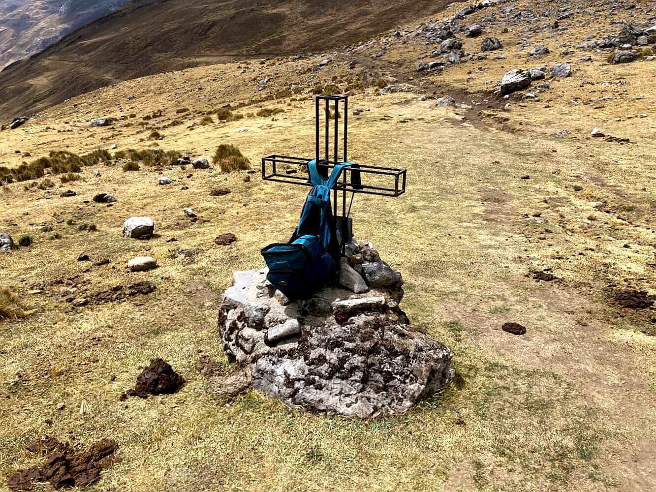
The Cordillera Huayhuash was once deemed unsafe, because the mountains served as a refuge for the leftist terrorist group Sendero Luminoso. Tourists were murdered here in the 1990s, with the last incident in 2004. Some people in Huaraz and the surrounding areas say that Sendero Luminoso is still somewhat present.
After the Santa Cruz Trek, I was warned in the village of Vaquería that people in the Cordillera Huayhuash have a “corazón malo” (bad heart). On the other hand, I’ve heard similar warnings all throughout Peru. Somehow, it always went like this: “Sí… everything is perfectly fine, tranquilo. There are only good people here. Just be extra careful if you go to anywhere else.”
And funnily enough, I heard that just about everywhere I went.
Personally, I didn’t get the impression that the area is particularly unsafe. Which, of course, doesn’t mean much — after all, it always feels safe until something happens. But I did some research before and apparently there haven’t been any incidents for quite some time. Plus, the locals are now collecting protection fees. So they have an interest in ensuring nothing happens to tourists.
In conclusion, I’d assume that you have little to fear from other people on the Huayhuash Circuit.
Communication
Having at least a basic grasp of Spanish is advantageous on the Huayhuash Circuit, especially for solo trekkers. Apart from some of the guides from Huaraz and other trekkers, you’re unlikely to encounter anyone who speaks English. While you can usually get by, navigating logistics, such as organizing transfers or asking for directions, can be a bit more challenging without Spanish.
One advantage in Peru is that locals generally speak a clear, slow Spanish – for many of them it’s a second language as well. It’s much easier to understand than the rapid-fire Spanish of Andalusia or the heavily clipped words common in the Canary Islands. Even if you’re a beginner, you’ll likely manage okay here.
Acclimatization
The Huayhuash Trek primarily takes place above 4,000 meters, with passes reaching up to 5,000 meters. That means, you should be at least somewhat acclimatized before setting out. It’s recommended to spend at least 3-4 days in Huaraz beforehand, doing some day hikes.
- You’ll find some hike suggestions around Huaraz in my article about the Santa Cruz Trek.
- It’s also a good idea to do the Santa Cruz Trek itself in advance.
- If you’ve already done other treks in Peru, such as the Choquequirao Trek or the Ausangate Circuit in the south, you’re probably already sufficiently acclimatized.
Not recommended: Hiking to Laguna 69 one day and then heading straight to the Cordillera Huayhuash the next. Unfortunately, many people attempt this, with the usual consequences: severe headaches, nausea, vomiting, weakness, etc. Altitude sickness is often underestimated and on the Huayhuash Trek I had ample opportunity to see firsthand what the results look like. Hint: Not pretty.
One encounter that stands out was during the way to the first major pass, Cacanapunta, at 4,700 meters. I met an American couple who had arrived from Lima two days prior. The woman was actually managing quite well. Watching her partner, however, was like watching a video in ultra-slow-motion. It took him more than 10 minutes to cover a mere 100 meters.
At the pass, he actually collapsed and vomited for a good half-hour. Seeing that sort of thing always unnerves me, as I worry something worse could happen – and theoretically it could. Thankfully, everything turned out okay in the end, but it was certainly an unpleasant experience and I imagine he would have gladly skipped it if he could.
Best time and climate for the Huayhuash Trek
The main thing to remember: It can get cold on the Huayhuash Circuit. Temperatures can drop to -10°C at night. A warm sleeping bag with a suitable comfort range (not limit) is therefore essential. However, the climate varies somewhat depending on which time you go.
I visited in mid-September at the end of the dry season in Peru, which is basically the winter. Being the end of winter, temperatures were already starting to rise. At night it only got slightly below freezing. However, I encountered rain almost daily and the weather was generally pretty unstable.
Most people consider the months from mid-June to early September as the best time to go. Peak season is July and August. During these months, while the nights are very cold, there’s a better chance of sunny days and less rain. According to what locals told me, the coldest months are May and June.
Other Useful Info
A few final tips that could be helpful:
- Peru is close to the equator, so days and nights are roughly equal in length.
- Darkness falls very quickly around 6:00 pm. Within 15 minutes it’s pitch black. So, always plan for sufficient daylight hours. The nights in the Andes are long and cold.
- Most tours use mules, which leave a helpful “trail” in the form of dung. In case of doubt, you can follow these piles.
- I saw many cows, as I did throughout all of the Peruvian Andes, but no other wild animals. On the campsites dogs will linger around, but I found them to be peaceful.
- The last place to buy supplies is Chiquian, but it’s a small town with limited options. It’s best to do your shopping in Huaraz, where you can also find trekking gear (mats, sleeping bags, shoes, etc.).
- For current information on trekking tours, such as up-to-date campsite prices, check with the Policía de Turismo near the Plaza de Armas in Huaraz. You can also register there. The staff are very helpful but only speak Spanish.

My final verdict
I didn’t experience the best weather and I’d likely have enjoyed the trek more had I done more sections of the alpine route. Still, I spent some wonderful days in an impressive high-mountain environment, the likes of which you don’t get to see every day.
One thing I have to admit, though: I still don’t entirely understand the hype around this trek. Of course it’s nice, but it’s not as if Peru has a shortage of other stunning places. And I’ll be honest: I personally preferred the Cordillera Blanca for its greater diversity of landscapes. The Cordillera Huayhuash is mainly a land of steep ice walls and glaciers. Which I guess is why it’s so popular among mountaineers.
That said, the trip was still worthwhile, even though not every day was just highlight after highlight. My advice is to take the “best trek in the world” hype with a grain of salt. Just go, keep an open mind and try to see the Cordillera Huayhuash as what it really is: a vast, wild mountain realm that ultimately transcends all human perspective.
Note: This article contains affiliate links marked with an asterisk *, which lead to online retailers like Amazon. If you click on such a link and make a purchase, I receive a small commission that helps fund this blog. This is the best way to say thank you if you enjoyed the post. Of course, there are no additional costs to you.
Do you have any further questions about the Huayhuash Trek? Do you know other exciting hikes in Peru? Then head straight to the comments—I’d love to hear from you!












Sag mir deine Meinung!