In this article:
- Map and GPS-file of the hike
- Hiking Zugspitze in 1 or 2 days – Which is better?
- How to get there and where to stay
- Trip report: Hiking the Zugspitze through the Rheintal
- Is the Zugspitze hike suitable for beginners?
- Packing list for your trip
- How to plan the hike
- 4 different trails to reach Zugspitze
- My verdict
The Zugspitze at 2,962 meters is Germany’s tallest mountain, which makes it one of the country’s most sought-after and popular destinations. Every year thousands of tourists flock to the Bavarian town of Garmisch-Partenkirchen to ascend the highest point of the Wetterstein Mountains. If you’re reading this, I guess you’re toying with the idea of going there, too.
But let’s be honest: most visitors to the Zugspitze simply take the cable car to the summit. You buy a ticket and less than 10 minutes later you can proudly say, “I was on the Top of Germany.” Sure, that’s one way to do it… but it does sound a bit underwhelming, right? Where’s the adventure in that?
Hiking to the Zugspitze
So… I assume you’re not just looking to be shuttled up the mountain for a quick selfie in front of the summit cross. Maybe you’re the type who is not just about reaching the top but about enjoying the journey to get there. I have good news for you, then: Hiking up to the top of Zugspitze is entirely feasable. One of the best routes to do this is via the Reintal trail.
The traditional way to the top is relatively straightforward and allows you to reach the Zugspitze, even if you don`t have any mountaineering experience. All you need is a good snack, sturdy shoes, and some power in your legs. Don’t be fooled though – while this is the easiest way to the summit it’s by no means boring. It’s a stunning hike, perfectly embodying the oft-heard phrase: “The journey is the destination.”
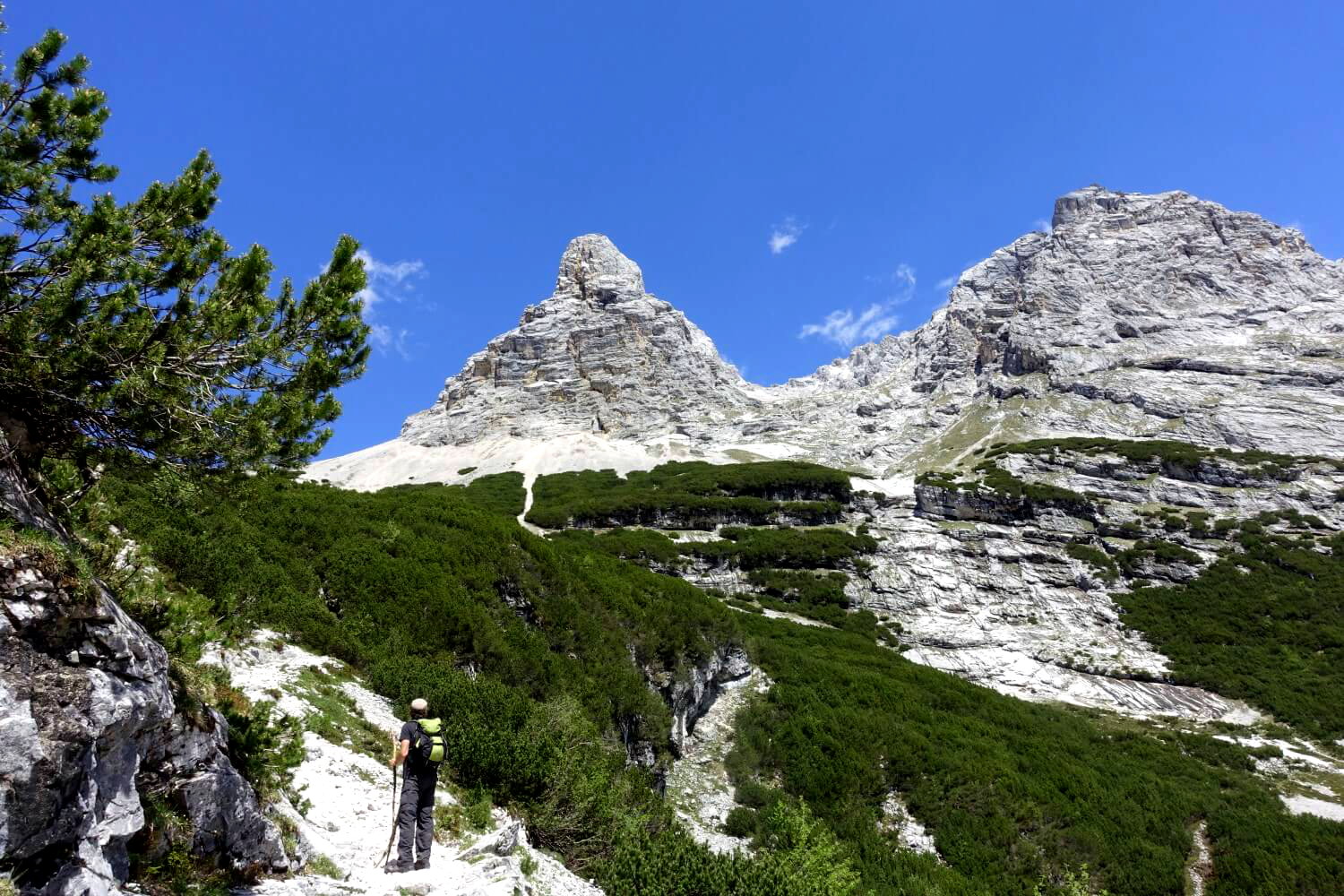
At a glance
- Scenically stunning mountain hike through Partnach Gorge, Reintal, and Zugspitzplatt to Germany’s highest peak
- Distance: 21.6 km
- Elevation Gain: +.,250 m
- Difficulty: moderate, suitable for less experienced mountain hikers
- Adventure rating: medium
- Total Hiking Time: Approx. 9–10 hours (depending on fitness level)
- Duration: 1–2 days (a 2-day hike is more enjoyable and easier)
- No climbing or advanced alpine skills required. An optional, easy via ferrata is available near the end of the tour. The easiest return is via the Zugspitzbahn railway.
Map and GPS-file
👉Instruction for using GPX-tracks (German)
What to expect on the hike to Zugspitze via Rheintal
The route through the Reintal, at just under 22 kilometers distance, is the longest and easiest of the five common routes to the Zugspitze – essentially the “standard route” that avoids all technical climbing obstacles. This was also the path chosen by the first person to ascend the Zugspitze, surveyor Josef Naus, in 1820. Back then, mountains weren’t climbed for fun but for serious scientific purposes.
In short, the goal was to reach the top as easily as possible.
This makes it a delight for today’s hikers who want to reach the Zugspitze on foot without any major climbing. And even better: the Reintal route is incredibly scenic and varied. Starting from the valley floor you get to experience all the different landscapes of this surprisingly remote mountain realm tucked between Germany and Austria. It`s a beautiful journey on foot, ending in the impressive alpine scenery surrounding the Zugspitze summit. Even without the distinction of being “Germany’s highest point,” this would still be an absolutely top-tier hike!
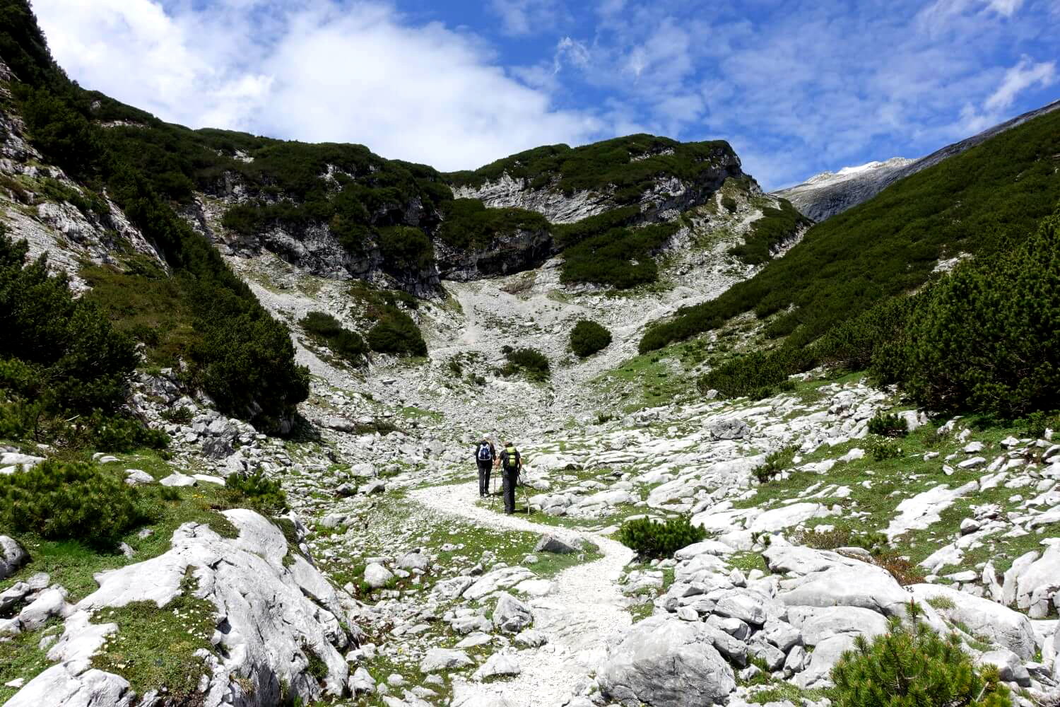
Overview of the Route
The hike begins at the impressive gorge of the Partnachklamm – a true highlight right at the start. From there, the trail winds through lush pine forests, accompanied by the gentle babbling of the Partnach River, along flat forest paths through the lower Reintal. At the Partnachalm (980 m) the path finally turns into a proper mountain trail, continuing up to the Bockhütte (1,052 m), an excellent spot for your first break.
Beyond Bockhütte the scenery becomes increasingly spectacular. On the left side of the valley rise towering peaks like the Hochwanner (2,744 m) while to the right the Höllentalspitzen soar skyward along the notorious ridge of the “Jubiläumsgrat” – one of Germany’s most difficult and dangerous ridge walks. The trail steadily climbs winding between the towering limestone walls of the upper Reintal until you reach the Reintalangerhütte (1,370 m). If you’re dividing the hike over two days this hut is the perfect place to spend the night.
In the final third of the hike a steep ascent leads to the Knorrhütte (2,051 m). Crossing the “Zugspitzplatt”, an expansive alpine highplateau, offers a close-up view of the remnants of the Schneeferner Glacier. The final stretch involves a short via ferrata-like climb along the southwest ridge to the Zugspitze summit. Alternatively, you can take the cogwheel train from the Sonnalpin station for the last few meters to the top.
Hiking guides and maps for the Zugspitz area
My recommendation: Rother hiking guide Zugspitze
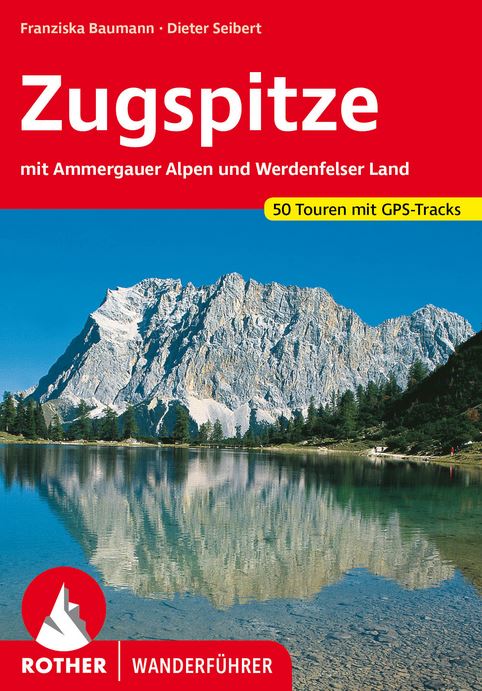
The hiking guide from the well-known Rother publishing house contains 50 tours around Germany’s highest peak – of course, it also covers the ascent routes to the Zugspitze.
I only got this book after the hike through the Reintal, and then I immediately regretted what I had missed. But at least now I know what I’ll do next time.
With a hiking map, this guide is the perfect companion to explore the Zugspitze region!
The Alpenvereinskarte Wettersteingebirge/Zugspitze* in the scale 1:25,000 is a great map choice. An alternative is the Kompass map* in the scale 1:35,000, which also covers Mittenwald – perfect if you plan to do the famous Mittenwalder Höhenweg afterward. Additionally, there is a hiking guide to the Zugspitze* from the Bruckmann publishing house.
Also recommended (for German speakers):

Die besten 3000er für Wanderer in den Ostalpen

50 Alpine Bergtouren in Wetterstein und Karwendel
Die 55 schönsten Hüttentreks in den Ostalpen
Hiking to the Zugspitze: In 1 or 2 Days?
Many people aim to hike to the Zugspitze in a single day. That’s exactly what we did: tackling the entire route from the town of Garmisch-Partenkirchen to the summit in one go. After all, 22 kilometers doesn’t sound like much at first, does it?
And yes, it’s definitely doable if you’re at least moderately fit. But to be honest, the end turned into quite a rush because we needed to catch the last cable car back to the valley. I wouldn’t necessarily do it that way again.
If you’re planning to hike through the Reintal to the Zugspitze in a single day, keep the following in mind:
- You’ll be climbing over 2,200 meters of elevation gain in one day. That’s a big challenge, especially if you don’t regularly do endurance sports (like jogging or trail running) or aren’t used to hiking in the mountains.
- The steepest and most demanding part of the ascent (1,600 meters of elevation gain) begins after about 15 km – at a point when you’ve already been hiking for hours.
- On the Zugspitzplatt you’ll be hiking through high alpine terrain. This can present unexpected difficulties such as sudden fog, snowfall, or storms.
- In my experience, on hikes with a specific summit goal you almost always spend more time than expected in the final stretch. You can already see the summit and think you’re nearly there but that last section often feels like it drags on forever.
- If you’re not that experienced a mountain hiker, you might need additional time finding the trail. Some sections between the Knorrhütte and the summit are not very well marked.
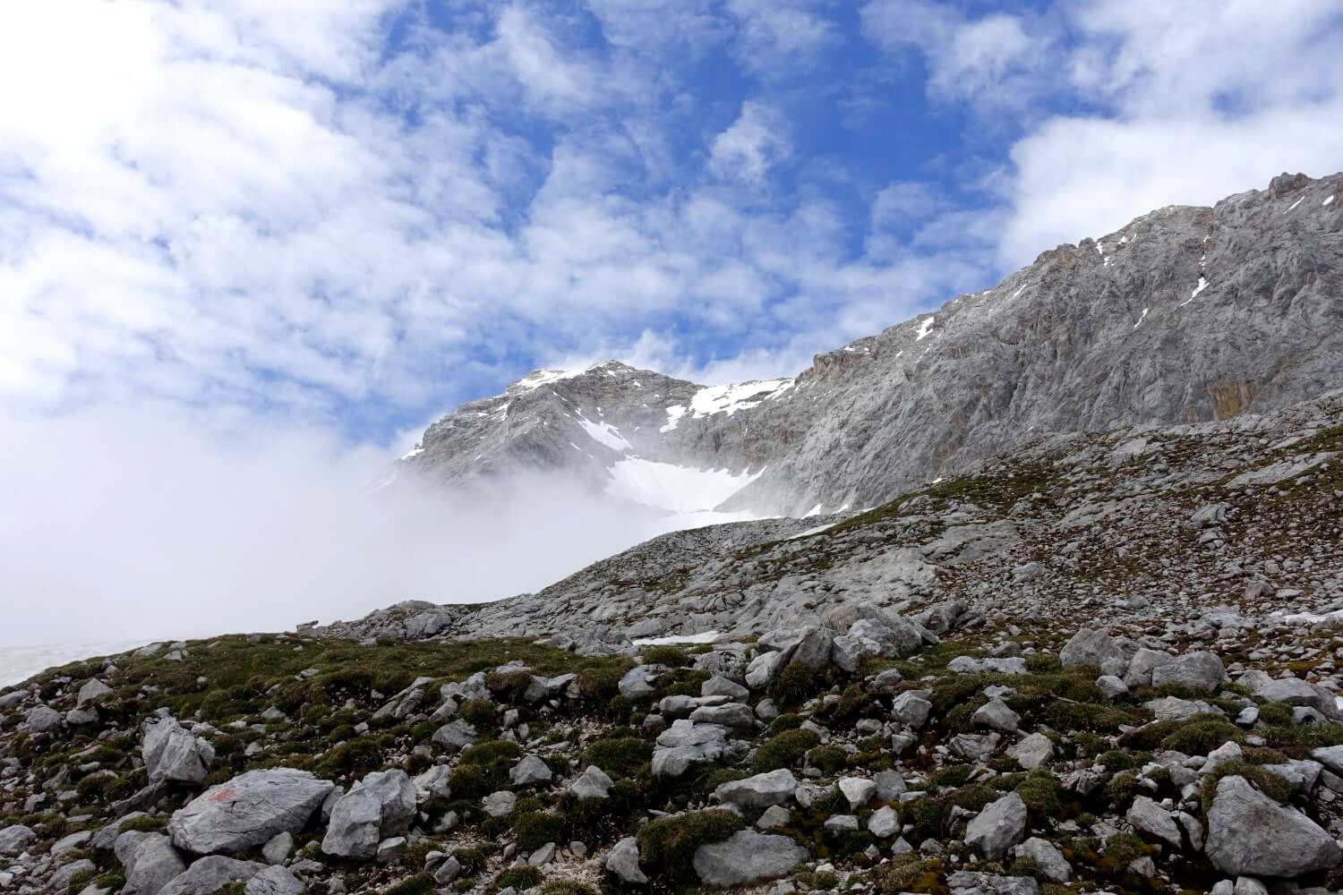
Hiking to the Zugspitze through the Reintal: Walking times for a 1-day trip
Of course, hiking to the Zugspitze in a single day is entirely possible and plenty of people do it. If you’re up for the challenge, go for it! Here are some tips and estimated walking times for a 1-day trip through the Reintal:
- Start early in Garmisch-Partenkirchen. Ideally by 6:30 AM, or even earlier.
- Aim to reach the northern entrance of the Partnachklamm by 7:00 AM (walking time: 30 minutes). However, the gorge will not be open at this hour so you’ll need to take the bypass route described further below.
- Cover as much distance as possible in the first stretch to the Bockhütte. It’s best to move quickly here without taking extended breaks (walking time: 2 hours, total: 2.5 hours).
- The hike to the Reintalangerhütte is generally more relaxed (walking time: 2 hours, total: 4.5 hours). Afterward, you’ll face about 650 meters of elevation gain spread over approximately 5 kilometers. This is the first truly strenuous part of the tour (walking time: 1.5 hours, total: 6 hours).
- Try to reach the Knorrhütte by 1:00 PM at the latest. From here, the terrain becomes more rocky. If you’re hiking early in the season (May/June), expect snowfields on the way to the Zugspitzplatt (walking time: 1.5–2 hours, total: 7.5–8 hours).
- From the Zugspitzplatt (2,600 m) to the summit of the Zugspitze (2,962 m), it’s only about 300 meters of elevation gain. However, by this point you’ve already climbed nearly 2,000 meters so allow plenty of extra time for this final stretch.
- If time is running short, consider taking the Gletscherbahn cable car from the Zugspitzplatt, which departs every few minutes. The climb via the southwest ridge requires full concentration and is not a place to rush (walking time: 1.5–2 hours, total: 9.5–10 hours).
Total walking time: 9–10 hours (based on personal experience, times may vary).

My personal recommendation: Do the hike in 2 days
If I were to do the hike again, I would definitely split it into two days and plan an overnight stay at the Reintalangerhütte. This way you can take your time hiking through the Reintal and fully soak in the stunning natural surroundings. The hut’s location in the upper Reintal is simply fantastic. Plus, you’ll be well-rested the next day allowing you to enjoy the final stretch to the “top of Germany” without any pressure.
With a bit of planning, you can fit the Zugspitze hike into a single weekend. It’ll be a packed weekend, but it’s absolutely doable. Here’s an example itinerary:
- Friday: Arrive in Garmisch-Partenkirchen in the afternoon and spend the night there. Depending on how far you’re traveling, you might need a full day to get there.
- Saturday: Sleep in, enjoy breakfast, and take a leisurely 5–6-hour hike to the Reintalangerhütte. Spend the afternoon relaxing and stay overnight.
- Sunday: Start early (around 7:00 AM) and reach the summit in about 5 hours. Enjoy a lunch break at the top, then take the cable car back to the valley and head home.
If you have more time, even better! In addition to the Zugspitze, you could explore the Höllentalklamm or hike the Stangensteig, a scenic trail above the gorge. Another classic option is the circular trail around the Eibsee, which offers breathtaking views.
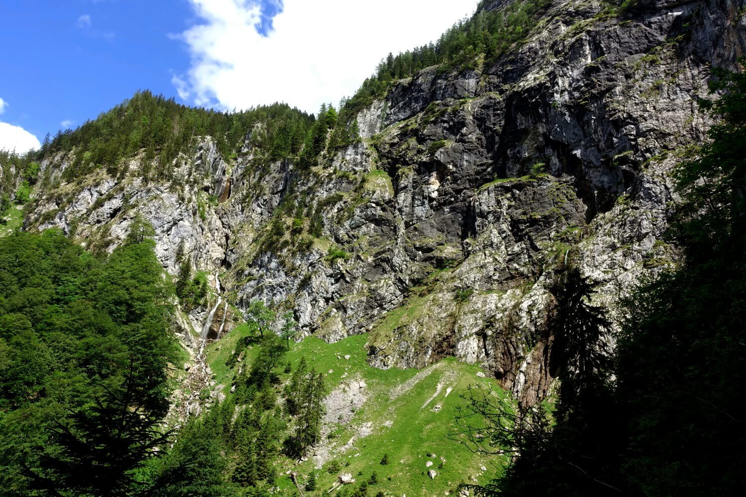
Getting There
Garmisch-Partenkirchen is very well connected to the rest of Germany by public transportation. The best starting point would be Munich, the regional capital of Bavaria. From there you will take a regional train to Garmisch-Partenkirchen, the journey from Munich last about one hour.
If you arrive early enough in Garmisch-Partenkirchen you can use the rest of the day for a shorter excursion, such as visiting the Höllentalklamm or walking around the beautiful Lake Eibsee, often called the “Carribean of Bavaria”. Nearby villages like Grainau, Hammersbach, or Eibsee can be easily reached using the local Zugspitze train.
The Zugspitze train departs from the station called “Zugspitzbahnhof“, located a few hundred meters past the main Garmisch-Partenkirchen train station. A one-way trip from Garmisch to Eibsee (or vice versa) costs about 5 Euro. After descending from the summit via cable car, you can take the Zugspitze train back to Garmisch. The timetables for the train and cable car are coordinated, so you will have smooth connections.
Accommodations in Garmisch-Partenkirchen
Garmisch-Partenkirchen is a popular place for holidays or weekend-getaways and offers plenty of accommodation options. Most of them are quite expensive, which is not surprising for such a popular holiday destination. However, there are also a few more affordable options. Recommended choices include:
- DJH Youth Hostel moun10*: Probably the most affordable accommodation in Garmisch-Partenkirchen. You need to purchase a membership, but even then it’s still quite cheap.
- Werdenfelser Hof*: A country hotel with simple but clean rooms, and reasonably priced for the region. It’s about a 20-minute walk to the Olympic Ski Jump.
- Weidegg Hotel Garni*: A small, cozy hotel with mountain views, and breakfast is included in the price. It’s also within walking distance to the Olympic Ski Jump.
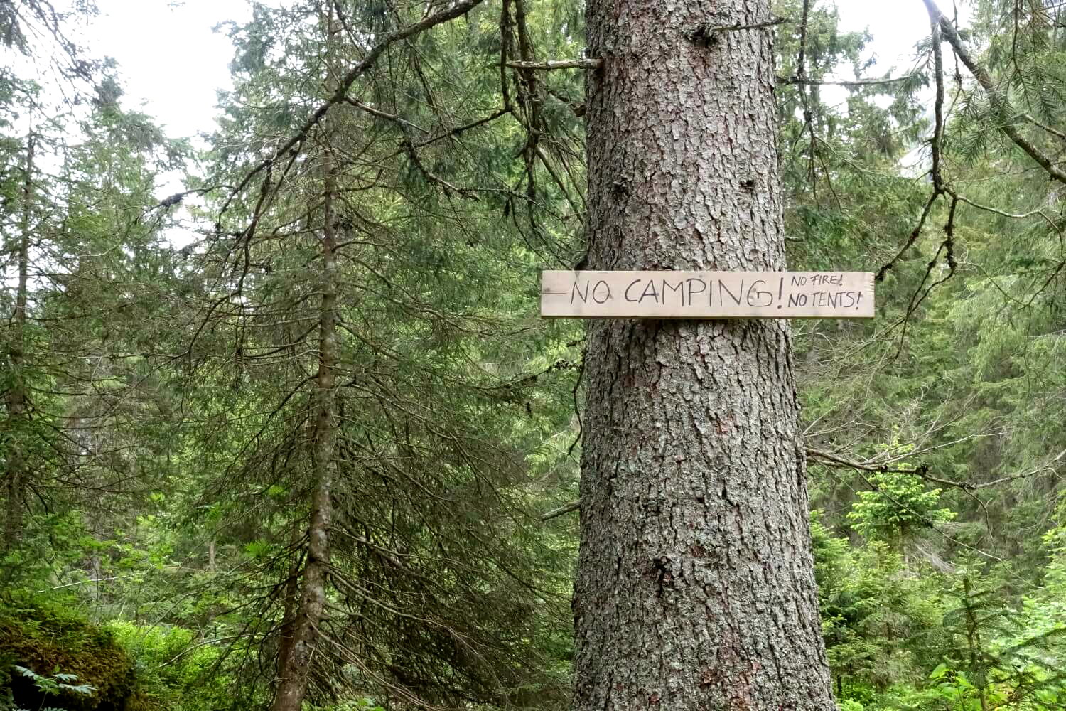
Tip: Book early (2-3 months in advance), as the town is very busy even outside of the ski season. If there are no rooms available in Garmisch-Partenkirchen, you can try your luck in the neighboring village of Grainau*.
Trip report: Hiking Zugspitze via Reintal in one day
Below is a detailed description of our hike through the Reintal, including highlights, lowlights, and potential difficulties you might encounter.
It`s an early morning in June. The evening before we arrived from Berlin, we wake up at 6:00 AM. An hour later we begin our hike at the Olympic Ski Jump in Garmisch-Partenkirchen. From there we head towards the Partnachklamm, the official starting point of the tour. Our goal: to hike to the summit of the Zugspitze in one day and then take the train back down.
Unfortunately, we`ve overlooked the fact that the gorge doesn’t open until 8:00 AM. This causes us to lose valuable time, which we spend waiting at the entrance. Just before 8:00 AM, the gates finally open and we start our hike to Germany’s highest peak, albeit a little behind schedule.
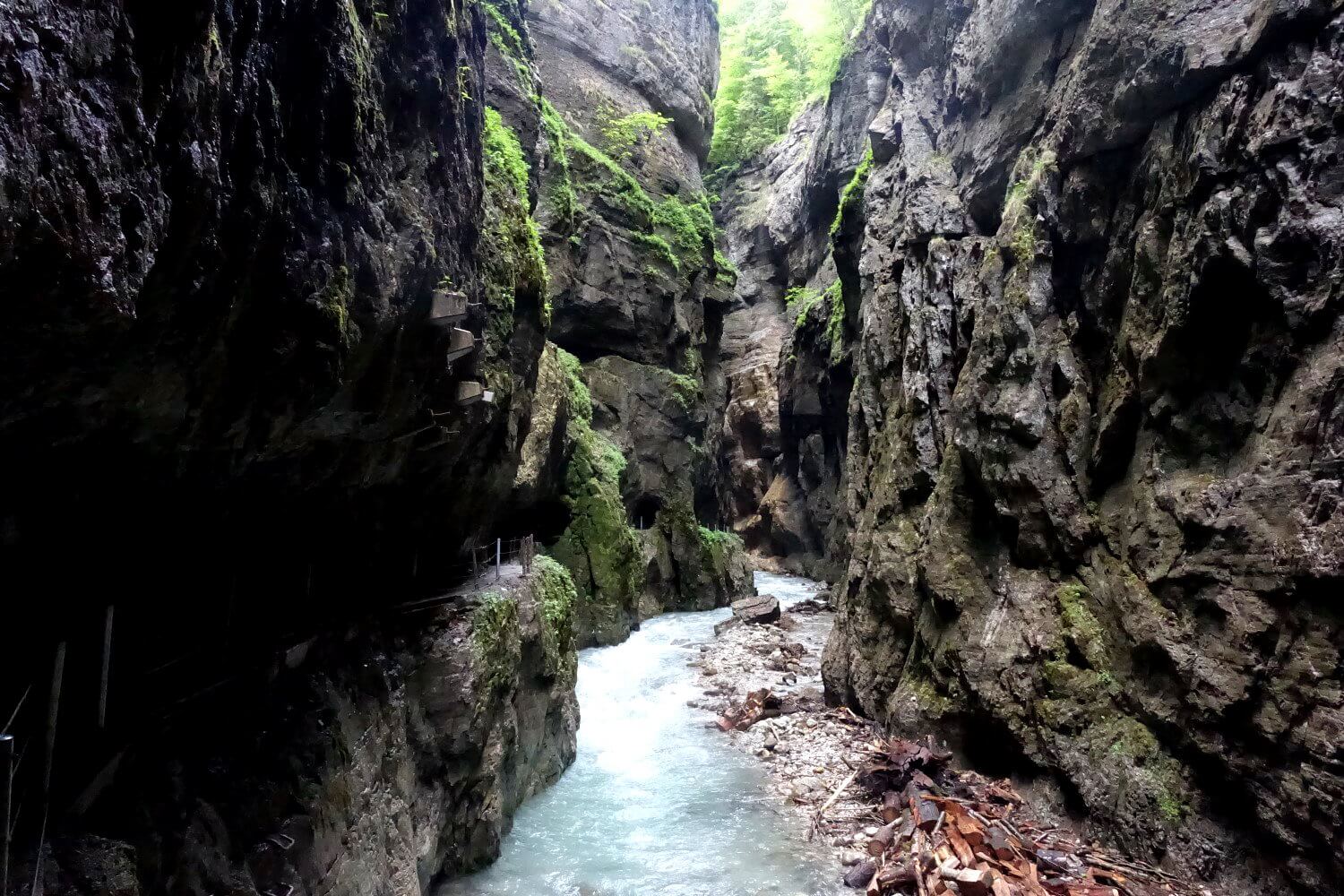
The Partnachklamm is an absolute highlight right from the start. The mountain stream Partnach has carved a gorge up to 80 meters deep into the mountains here. It’s quite an experience to walk between the towering rock walls, which are still damp in the early morning. The water of the Partnach roars through the gorge with tremendous force (and noise). Countless small waterfalls cascade down from the sides.
The path alternates between running directly along the water or through tunnels carved into the mountai, and it is well-secured. The only challenge: Water constantly falls into the gorge from above. At times, it feels like walking through a light drizzle. So, make sure to bring a rain jacket. After just under 700 meters, the fun ends, and we reach the end of the gorge in the lower Reintal.
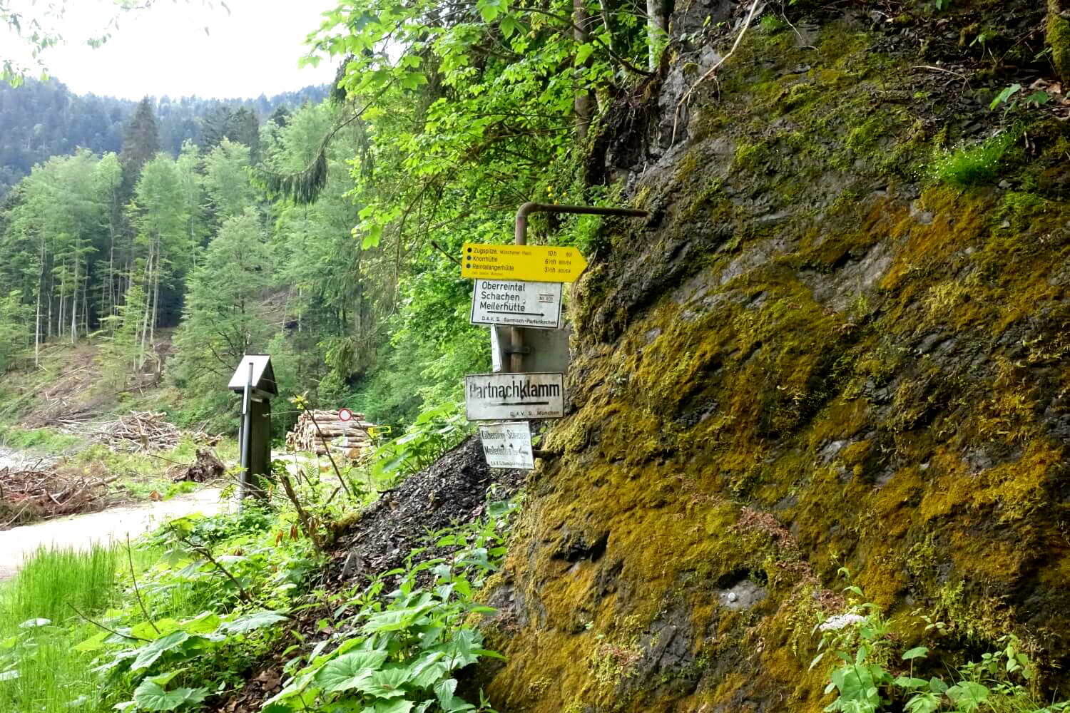
On forest trails to the Bockhütte
Next, we walk a few kilometers on a gently ascending but otherwise pretty unremarkable forest road through sparse coniferous forest. This section feels a bit like a drag and I’m almost ready to call the hike a failure before it begins properly. But luckily it’s about to get much much better! And the upside: At least we make good progress here.
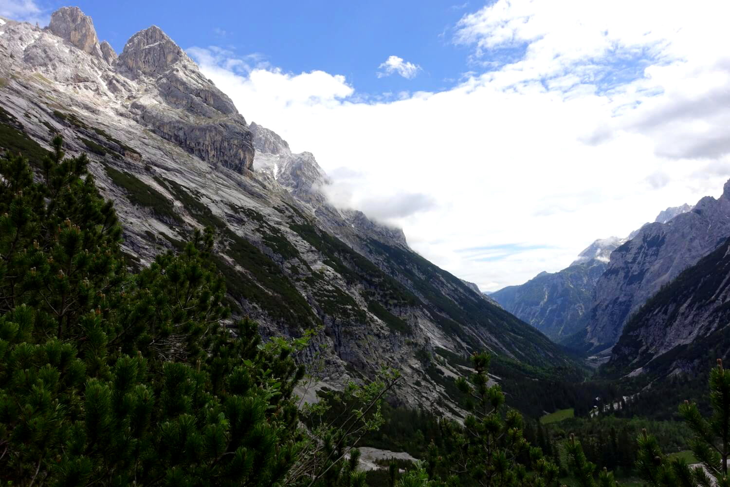
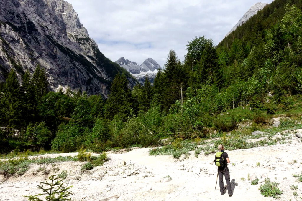
Eventually the boring forest road ends at a small shelter and turns into a proper hiking trail. The forest opens up for the first time offering a view of the valley and the surrounding peaks of the Wetterstein Mountains. Breathtaking! Shortly after we reach the Partnachalm, a small mountain hut at 1,050 meters where we take a short break on the sun terrace to recharge and enjoy the panoramic view of the surrounding peaks.
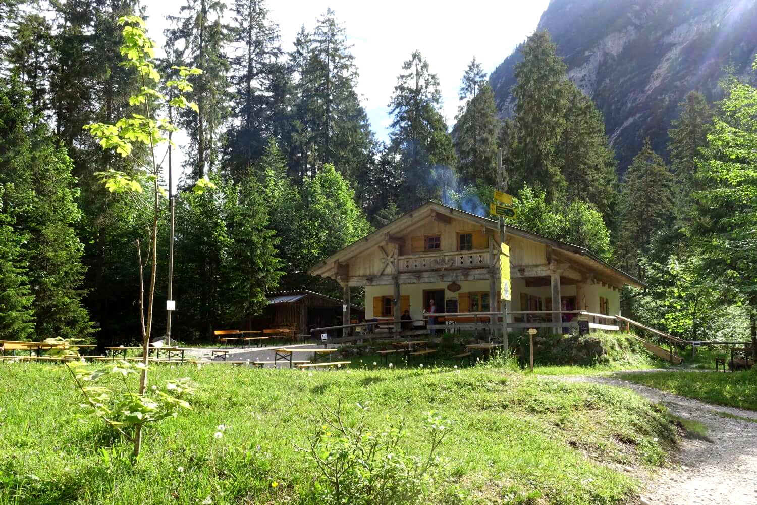
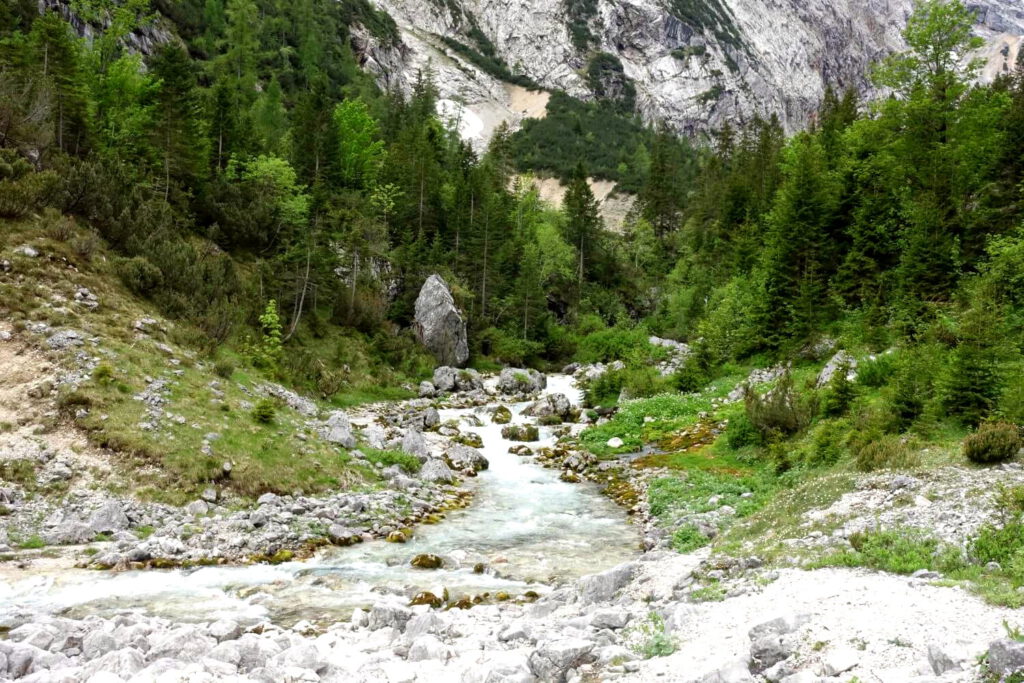
After the Partnachalm, the path continues relatively leisurely along the Partnach. The mighty mountain river that we saw in the gorge is now just a small stream merrily babbling over the stones. Most of the time we walk in the shade of the trees so despite the strong sunshine it doesn’t get too exhausting. There are a few small ascents but nothing serious. About two hours later, we reach the mountain hut called Bockhütte which is only open in the summer.
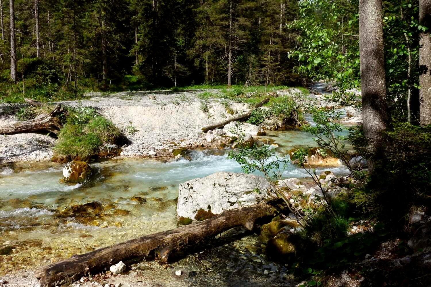
Marvellous hiking to the Reintalangerhütte
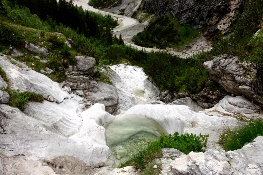
What follows now is the most beautiful part of the hike, at least for me. A long, not too steep ascent that winds slowly into the upper Reintal in the shade of the towering rock walls. With the turquoise-blue water of the Partnach always by our side we pass the source of the river at the so called “Seven Jumps” and numerous natural pools. These small basins are called “Gumpe” in German and have been carved into the rocks by the water of the mountain streams over centuries.
Sadly after a storm in 2005 the famous Blaue Gumpe (blue pool), formerly the “jewel of the Reintal”, has been reduced to a large rubble field. However, we can now clearly see the distant Partnach waterfall, which plunges down to the left of the path. A wonderful sight. And this silence! If I didn’t know better, I could very well be in a remote mountain valley in the Himalayas at this moment.
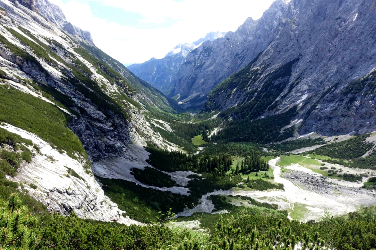
As we continue the path becomes increasingly steeper. After a final ascent past the waterfall, we reach the upper Reintal and the idyllic hut Reintalangerhütte at 1,366 meters. It’s the perfect time for an extended break. We’ve already covered 13.5 kilometers, almost two-thirds of the total distance. But there are still nearly 1,600 meters of elevation to climb over the next 8 kilometers. From now on it gets serious!
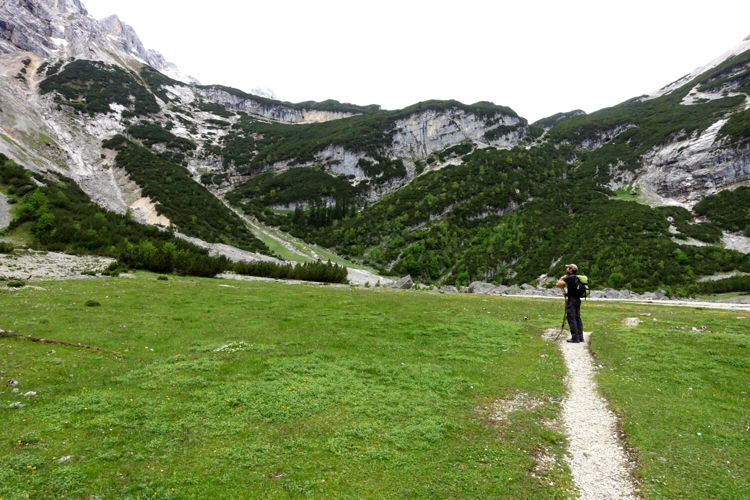
Tip: If you plan the hike as a two-day tour, the Reintalangerhütte is a good place to take a break.
From the Reintalangerhütte into the mountains
Slowly the green of the forests and alpine meadows gives way to bare rock and the grey of the scree fields. The terrain becomes truly alpine now. After the Reintalangerhütte, the path continues steeply upwards. The pleasant hiking trail from an hour ago turns into a mountain path that winds its way over rocks and scree towards the Zugspitzplatt.
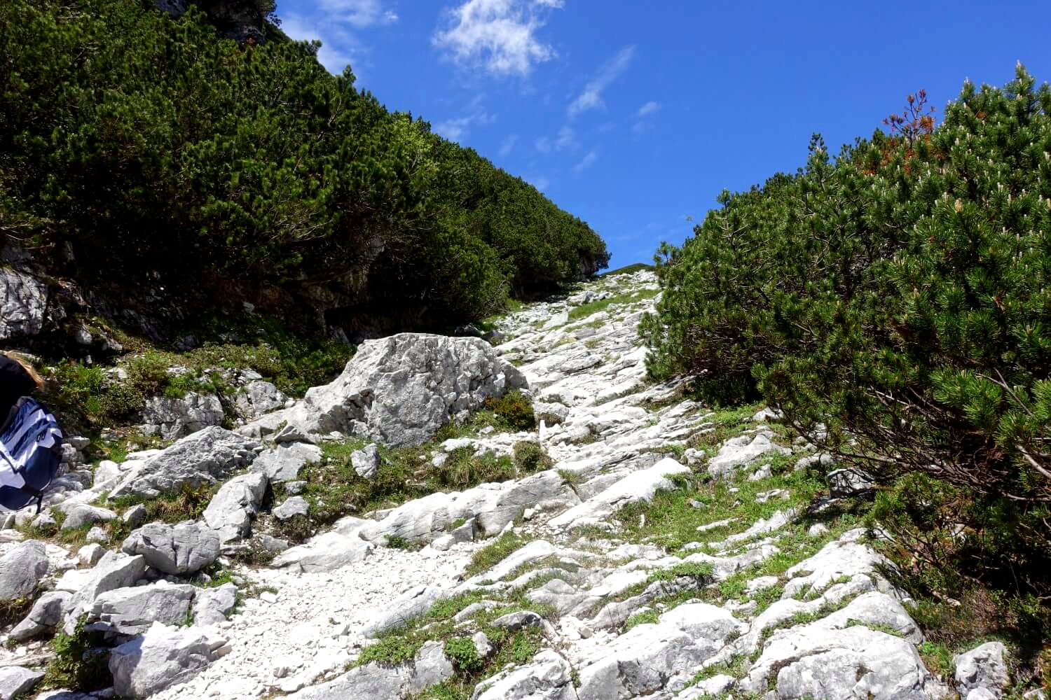
It’s still not a super difficult path even though it does get a bit steeper. However, the incline and the distance we’ve already covered start to take their toll. I take a short break every few minutes, turning around to enjoy the wonderful view of the Reintal now far below us.
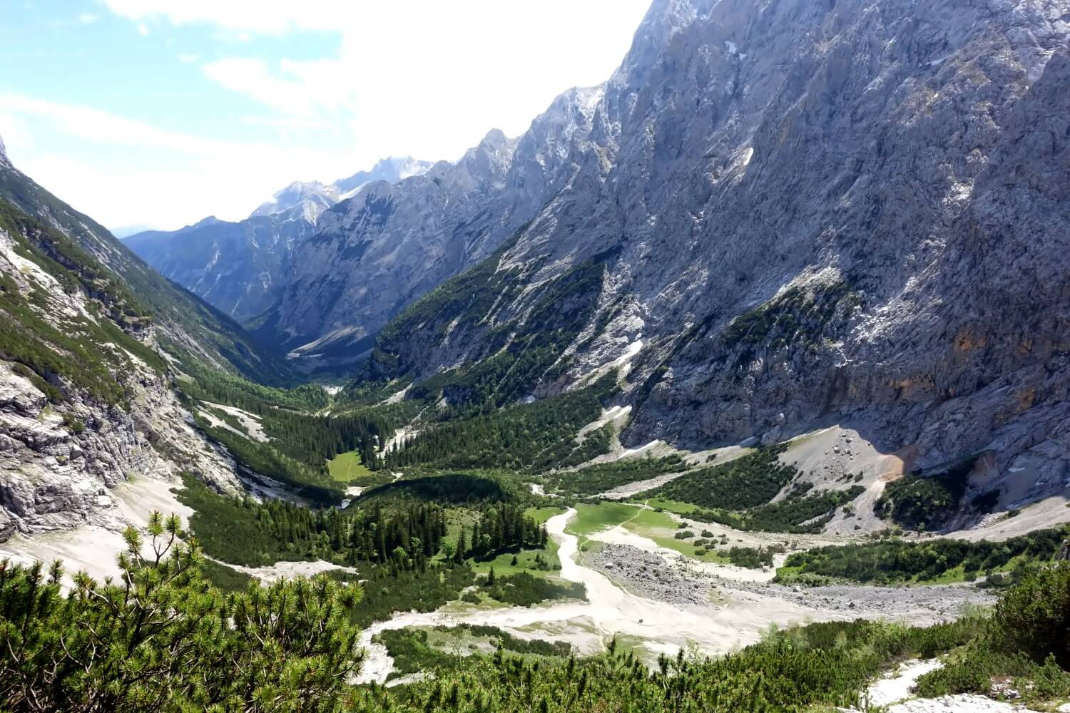
By chance, we run into Henriette, another hiker who also travelled from Berlin. It seems she got a bit lost in the scree but together we quickly find the right path again. Step by step, we continue until we reach the hut Knorrhütte, our last stop before the final ascent to the summit.
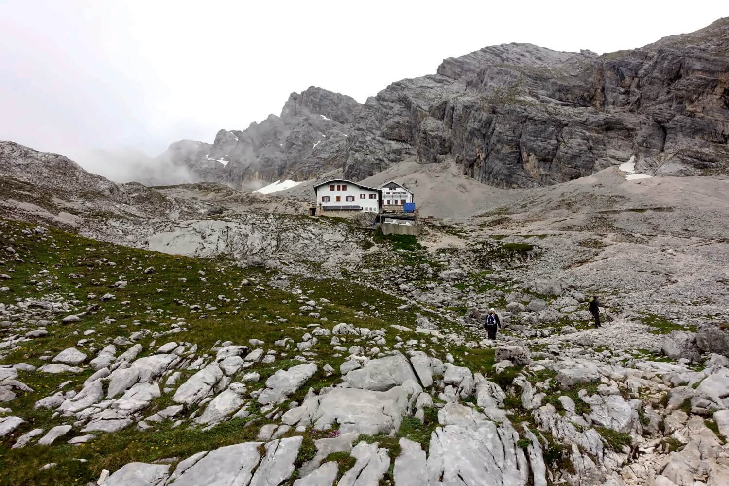
Knorrhütte: The last hut before the summit
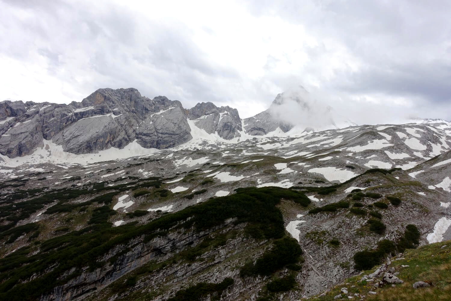
At the Knorrhütte the sky has clouded over and there’s no trace of the sunshine from the past few hours. The landscape has turned into a barren rocky desert. After a short break we trudge up the glacier moraine further upwards. It’s already early June but there is still lots of snow up here. Eventually, we reach the “Schneefernereck” at the eastern edge of the Zugspitzplatt.
In the past this vast plateau was completely covered by a glacier. Today only a small part of the ice remains — the Schneeferner (in Austrian and Southern German dialect “Ferner” means “Glacier” while). The path runs relatively straight to the west before ascending steeply over the southwestern ridge to the summit. When we arrive it’s hard to even call it a proper path. The Zugspitzplatt is almost completely snow-covered and we have no choice but to slog through the deep snow.
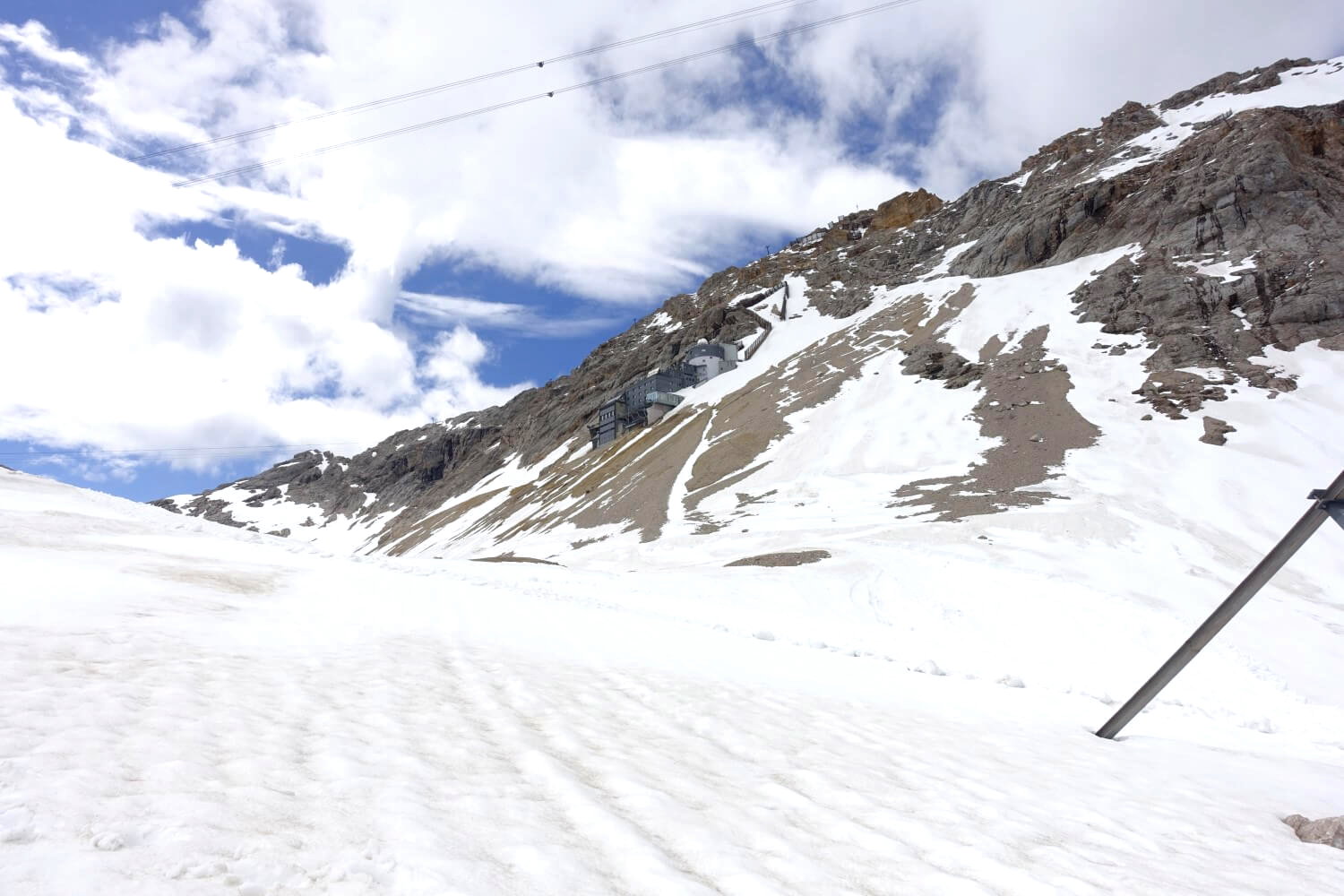
It’s half-past two in the afternoon now. The summit is very close, in the distance we see the Sonnalpin Glacier Cable Car Station which will take us the last few hundred meters to the top. But the past hours have left their mark. The path through the snow drags on and it feels like I’m walking in slow motion. Another hour passes and we’ve still not reached the base of the summit.
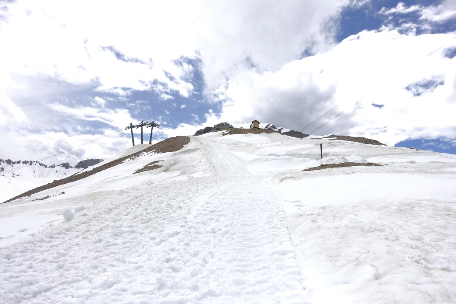
At around 3:30 PM we finally reach the cogwheel train station on the Zugspitzplatt. From here the final stretch of the trail runs along the steel cables of the train over the southwest ridge all the way up to the summit cross. Nearly 300 meters of elevation gain, 1 kilometer, and we have less than one hour. It should be doable. But is it really a good idea today?

In the end we decide against scrambling to the top. The last train descending from the summit leaves at 4:30 PM and it’s going to be tight to make it in an hour. On top of that, the via ferrata might be frozen over. None of us has crampons or microspikes with us. So instead we take the cable car for the last stretch.
The Zugspitze summit: an architectural eyesore
After the fantastic hike the summit station on the Zugspitze is admittedly quite disappointing. The ugly gray concrete building resembles a mix between an airport terminal and an industrial complex. Not much mountain atmosphre to be found here. But I guess that’s the price you pay when everyone is meant to be carted up to the summit.
At least the summit station is surprisingly empty today. Besides us only a few other tourists are up here taking pictures of the summit cross. In good weather you can reach the last few meters to the cross along a short exposed ridge directly from the station. Unfortunately, it’s also frozen today so we content ourselves with looking at the “Hillary Step” from the barrier.
While enjoying a well-earned summit beer we reflect on the past hours. Yes… it’s a bit annoying that we didn’t walk the final stretch and cheated a little. But the hike was still such a great experience. And next time I come up here, I can always make up for the final part. After all, there are still a few other routes to the top of Germany…

Can a beginner hike to the Zugspitze?
Can a beginner manage the hike through Rheintal? In my opinion: Yes, at least if you’ve already done a few hikes in the mountains. The trail does take you into alpine terrain but it’s primarily a hike without “technical challenges,” as they use to say. The difficulty level is moderate.
Specifically, this means:
- The use of technical alpine equipment (rope, crampons, helmet, climbing harness, etc.) is not required at any point.
- There are no sections where climbing is necessary and only very few, easy scrambling sections.
- The path is well-marked, except for a few short spots above the Knorrhütte. If you’re attentive, there’s no serious risk of straying into hazardous terrain.
- The only exposed sections are found on the southwest ridge of the Zugspitze summit. However, these are secured with cables.
If you’re not going into the mountains for the first time, hike regularly, and/or are reasonably fit you shouldn`t encounter major problems in good conditions. Good conditions mean: good visibility, no rain.
The biggest challenge: Over 2,000 meters of elevation gain
One thing, though: It’s still a hike in the high mountains, not a Sunday stroll in the park. And the tour is very long. In my opinion, this is actually the biggest challenge of the Reintal route: the length and the 2,200 meters of elevation gain. Let’s take a quick look at the elevation profile:
Elevation profile:

As is typical with summit hikes, most of the time you’ll be heading uphill. However, on the Reintal route the ascent is not distributed evenly unfortunately. In the first 10 kilometers, which is almost half of the total distance, you’ll only gain a little over 500 meters in elevation, meaning about a quarter of the total elevation gain. Only after this does the trail start to get steadily steeper.
The real climb begins after the Reintalangerhütte at around kilometer 14. Here, over a distance of just under 8 kilometers you’ll still have to climb 1,600 meters to reach the summit. This means that about three-quarters of the total elevation gain comes in the last third of the hike. It’s not a walk in the park—and yet another reason to split the hike into two days. This way you’ll start the final ascent rested and the hike will be significantly easier.

Important: Always pay attention to the weather
From the upper Reintal the hike to the Zugspitze takes you into alpine terrain. This isn’t a reason to panic but it does require you to be aware of the usual dangers of the high mountains. The most important ones are:
- Hypothermia due to sudden weather changes and temperature drops
- Unexpected weather storms that can occur extremely quickly in the high mountains (sometimes within minutes)
- Navigation issues due to fog, rain, or sudden snowfall (whiteout)
- Frozen paths due to freezing rain, making progress or retreat impossible (especially in steep terrain)
- Rockfall and accidents in inaccessible, difficult-to-reach terrain with limited rescue options
If you’ve read a few hiking descriptions (online or elsewhere), you’ve probably noticed that these alpine hazards are often repeated. There’s a reason for this. Even on an easier route, the weather can worsen to the point where dangerous situations arise. For example, in 2008, several trail runners froze to death on the Zugspitzplatt after starting their run in the rain.
Therefore, here are some key tips:
- Always check the weather forecast before the hike.
- Don’t start if there’s a risk of thunderstorms or if it looks like the weather will significantly worsen during the day.
- Start early to allow for enough time.
- Always bring waterproof and warm clothing: The higher you go the colder it gets—even in summer.
- Bring enough food and water.
- Carry a physical map of the hiking region (and learn how to use it).
- Supplement with a GPS device and/or smartphone with a GPS track for extra security.
Caution with hiking in spring
In recent years, there have been more and more frequent rescue operations in the area around the Knorrhütte because hikers got stuck in the snow couldn’t proceed, and had to call mountain rescue. These incidents mainly occurred in spring from mid-March to May.
So here’s another reminder:
Spring is not hiking season in the Alps. Even if the sun is already shining in the valley, there is still a lot of snow in the higher elevations of the northern Alps. If you’re hiking up the Reintal in April you will almost certainly encounter a thick layer of snow above 1,500 meters, making progress with regular hiking gear nearly impossible.
The best time for this hike is from mid-June to the end of September. We did the tour in early June and it was just about manageable. 1-2 weeks earlier and we might have had to turn back. Before you go, check the Zugspitze webcam to see what the conditions are like up there and take that into account when planning your hike. You can also here find an overview of the current trail conditions around the Knorrhütte (German only but use Google Translate).
What about the via ferrata on the way to the Zugspitze?
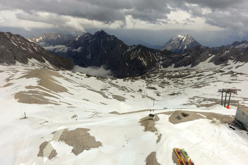
Another thing is the final part of the ascent over the southwest ridge of the Zugspitze. This section is sometimes referred to as a via ferrata. From what I’ve seen it’s more of a secured mountain path with a difficulty level of 4 (above average) on the Swiss hiking scale. You could call it a via ferrata, but if so it would be a very easy one (A or A/B according to the European via ferrata scale).
The “Zugspitze Via Ferrata” has some steep, exposed sections but it’s consistently secured with steel cables. Other hikers told us the biggest challenge is walking over loose rocks and sliding down with every step even with good tread on your boots. In early summer, the route can also be frozen, so you may need crampons or microspikes to ascend.
Do you need a via ferrata set for this? That’s up for debate. Some people might say, “It can’t hurt.” Personally, I think it’s better to gain experience on challenging hiking trails over time, so that you can manage these somewhat more difficult routes without specialized equipment. But ultimately, safety is a personal decision and if you’re in doubt, a via ferrata set certainly wouldn’t hurt.
Packing list for the hike to the Zugspitze
For the hike to Germany’s highest mountain you will need the usual gear for mountain hikes. Specifically, the following items should be on your packing list:
| Item | Note | Recommendation |
| Backpack | 20 – 25 litres | Vaude Jura 24* |
| Rainjacket | Waterproof + breathable | Montbell Storm Cruiser* |
| Warm layer to change | e.g. fleece sweater or softshell jacket. | Patagonia R1 Hoody* |
| Beany | for cold weather | Mountain Equipment Flash Beanie* |
| Emergency Bivysack | for unintended overnight stays/emergencies | Mountain Equipment Ultralight Bivy Bag* |
| Headlamp | especially useful if you start early and it’s still dark . | Petzl Actik Core* |
| Hiking map | use a scale of 1:25.000 | DAV-Karte Wettersteingebirge/Zugspitze* |
| Sunglasses | with a high UV protection level | Quechua MH530* |
| Suncream | Sun protection factor 50 | Nivea Sun UV* |
| Waterbottle | 2 litres, it’s a very long hike | Platypus Platy Bottle* |
| Raintrousers (optional) | for sudden weather changes and bad weather | Marmot PreCip Eco Full Zip* |
| Hiking poles (optional) | useful for long descents, your knees will thank you | Helinox Ridgeline LB 135* |
| Crampons or microspikes (optional) | especially in May/June and September – October | Snowline Chainsen* |
| GPS-device (optional) | for navigation in poor conditions | Garmin eTrex 32x* |
Tip: Check out my packing list for multi-day hikes. Many of the items there you can also use for day trips (German only).
What shoes do I need for hiking to the Zugspitze?
For my hike I used the Meindl Vacuum GTX* hiking boots (review). These are very sturdy trekking boots in category B (from A-D) making them suitable for alpine terrain. Since we had to walk through snowfields on the Zugspitzplatt it was definitely not a bad choice. However, nowadays I would probably opt for lighter shoes.
One possible alternative is trail running shoes. In summer this should be no problem for the hike. A disadvantage of trail runners, in my opinion, is that they wear out quickly, especially on mountain trails. For some time now, I’ve been using the robust approach shoes, the Garmont Dragontail LT* – for me, they are the perfect choice for mountain hikes with light gear.
Useful Tips for Planning the Hike
Here are a few last-minute tips that could help you with planning your hike. Some of these we didn’t know beforehand, which was probably why we ran into some time issues. I hope everything works out better for you!
Opening Hours of the Partnach Gorge
Note that the Partnach Gorge only opens at 8:00 a.m. This threw off our schedule a bit as we had to wait about 45 minutes at the entrance to the gorge, even though we had started our hike at 6:30 a.m. Also, there is an entrance fee of 6 euros.
Bypassing the Partnach Gorge
If you arrive earlier you can bypass the Partnach Gorge. There are two options:
- Turn right onto the trail “Hohen Weg” at the Wildenau parking lot and follow it to the Partnachalm.
- Turn left before the ticket booth of the cable car “Graseckbahn” and follow the path to Graseck. From there, turn right to the so calles “Iron Bridge” cross the Partnach River, and continue to Partnachalm.
Opening Hours of the Huts
The huts along the route are open for overnight guests only in the summer – typically from the end of May to October. However, it’s best to check in advance by phone for specific dates. Be sure to book your stay well in advance (at least 3 – 4 months early) especially if you plan to overnight on a weekend. The huts in the German and Austrian Alps are usually already fully booked in spring.
Here are the links to the huts:
- Partnachalm (overnight stays in apartments available)
- Bockhütte (only a restaurant, no overnight stays)
- Reintalangerhütte
- Knorrhütte
The websites are in German but you can always use Google Translate. Also, if you call by phone you will almost certainly find someone who speaks English. So… no worries.
One more thing: The German Mountain Club (DAV) is affiliated with clubs in other countries. As a member of any European mountain club you will get a discount of about 20% for your stay in DAV-managed huts.
Last descent of the Zugspitz cable car
The last trip of the cable car from the summit of the Zugspitze to Lake Eibsee in the valley is at 16:30. So try to be at the summit by at least 16:00. The last ride from the glacier cable car at Zugspitzplatt to the summit is at 16:25. The price for a one-way ticket on the Zugspitze cable car is around 35 euros.
Overnight Stay on the Zugspitze
There is an option to stay overnight on the summit at the nountain hut “Münchner Haus“. This is a rather small hut without much in the way of luxury, no showers, sometimes not even running water and only 36 beds. In case of emergency, no one will be turned away. However, if you’re unlucky and it’s too crowded you may end up sleeping on the floor.
The 4 other routes to the Zugspitze
The hiking trail through the Partnach Gorge and Reintal is not the only route to the Zugspitze. There are four other popular routes, some of which require mountaineering knowledge and equipment (via ferrata set, helmet, harness, and possibly rope):
Höllentalklamm: The route through the Höllental to the Zugspitze is probably the most popular and well-known tour. After a gentle hike through the Höllental you’ll encounter via ferrata sections and cross the Höllentalferner glacier.
Stopselzieher: The route via the Stopselzieher via ferrata is the shortest way to the Zugspitz, running along the border between Germany and Austria. It begins with a short hiking section, followed by a challenging via ferrata. This route is considered slightly easier than the Höllentalklamm.
Gatterl Tour: The Gatterl Tour starts in Austria and leads to the Zugspitze and like the Reintal Route, it is a pure hiking route. Here you’ll only need to climb 1,800 meters in elevation. The last section of the tour follows the same path as the Reintal hike to the Knorrhütte and then to the Zugspitzplatt.
Jubiläumsgrat: The route over the Jubiläumsgrat is a challenging alpine ridge climb where many people might even need to be roped in. This is a technical mountaineering route known for frequent accidents, many of which have tragic outcomes because people underestimate it. It’s a good idea to watch a video of the route first:
My verdict
So, that was it… the highest point in Germany. Honestly, I didn’t expect much from this tour beforehand. “Easiest route” often sounds a bit like “most boring route.” But I was wrong. The hike through the Reintal was a fantastic day hike in the mountains that I will remember for a long time.
Admittedly, the overdeveloped summit of the Zugspitze is somewhat of a natural disaster and exudes almost no charm at all. But the journey to get there… marvellous. And what a surprise that Reintal was so remote despite the tourist magnet of the Zugspitze being just around the corner. Definitely a recommended tour!
Did you enjoy reading this guide? Then support the blog and treat me to a virtual coffee.

Without coffee I won’t get out of bed and can’t have new adventures:)
Note: This article contains affiliate links marked with an asterisk (*), which lead to online retailers like Amazon. If you click on one of these links and make a purchase I receive a small commission that helps fund this blog. It’s the best way to say thank you if you enjoyed the post. Of course, this does not incur any additional cost to you.
Do you have any questions or comments? Have you already hiked one of the other routes to the Zugspitze? Then head straight to the comments – I look forward to hearing from you! Sign up for my newsletter here which I send out once a month (German only).





Sag mir deine Meinung!